Palleville (Palleville)

- commune in Tarn, France
- Country:

- Postal Code: 81700
- Coordinates: 43° 30' 5" N, 1° 59' 45" E


- GPS tracks (wikiloc): [Link]
- Area: 6.44 sq km
- Population: 450
- Wikipedia en: wiki(en)
- Wikipedia: wiki(fr)
- Wikidata storage: Wikidata: Q1614306
- Wikipedia Commons Category: [Link]
- Freebase ID: [/m/03qm558]
- GeoNames ID: Alt: [6612852]
- SIREN number: [218102002]
- BnF ID: [15277506s]
- INSEE municipality code: 81200
Shares border with regions:
Blan
- commune in Tarn, France
- Country:
- Postal Code: 81700
- Coordinates: 43° 31' 37" N, 2° 0' 29" E
- GPS tracks (wikiloc): [Link]
- Area: 13.3 sq km
- Population: 1134
- Web site: [Link]
Poudis
- commune in Tarn, France
- Country:
- Postal Code: 81700
- Coordinates: 43° 31' 15" N, 1° 59' 5" E
- GPS tracks (wikiloc): [Link]
- Area: 4.62 sq km
- Population: 254
Garrevaques
- commune in Tarn, France
- Country:
- Postal Code: 81700
- Coordinates: 43° 29' 24" N, 1° 58' 50" E
- GPS tracks (wikiloc): [Link]
- Area: 6.86 sq km
- Population: 387
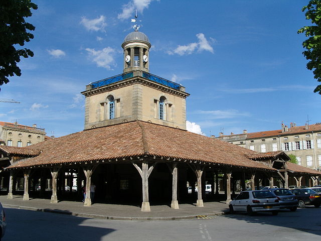

Revel
- commune in Haute-Garonne, France
- Country:
- Postal Code: 31250
- Coordinates: 43° 27' 31" N, 2° 0' 15" E
- GPS tracks (wikiloc): [Link]
- Area: 35.31 sq km
- Population: 9546
- Web site: [Link]