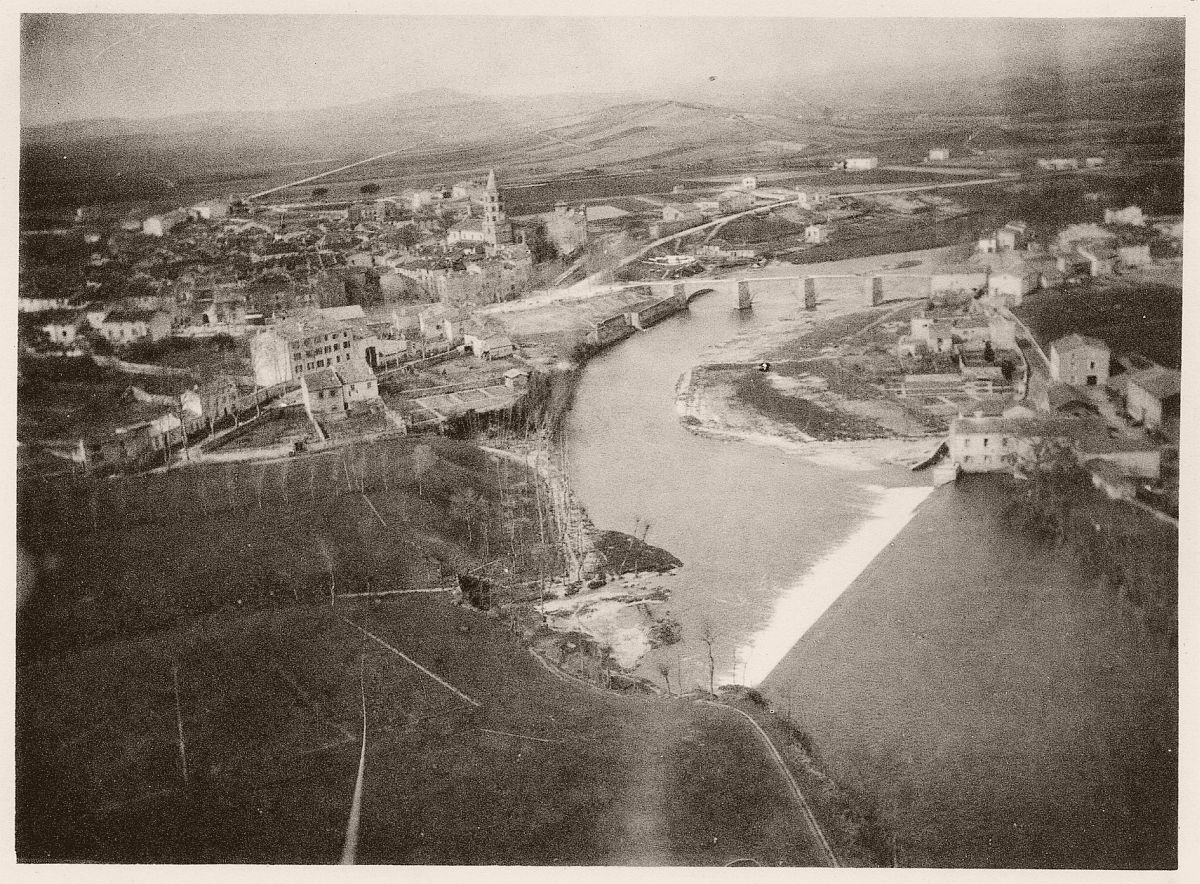
arrondissement of Castres (arrondissement de Castres)
- arrondissement of France
- Country:

- Capital: Castres
- Coordinates: 43° 35' 0" N, 2° 10' 0" E


- GPS tracks (wikiloc): [Link]
- Area: 3026 sq km
- Population: 195262
- Wikipedia en: wiki(en)
- Wikipedia: wiki(fr)
- Wikidata storage: Wikidata: Q163104
- Freebase ID: [/m/095h25]
- GeoNames ID: Alt: [3028260]
- INSEE arrondissement code: [812]
- GNS Unique Feature ID: -1417083
Includes regions:


canton of Saint-Paul-Cap-de-Joux
- canton of France (until March 2015)
- Country:
- Capital: Saint-Paul-Cap-de-Joux
- Coordinates: 43° 39' 33" N, 1° 55' 53" E
- GPS tracks (wikiloc): [Link]

canton of Puylaurens
- canton of France (until March 2015)
- Country:
- Capital: Puylaurens
- Coordinates: 43° 33' 22" N, 2° 1' 22" E
- GPS tracks (wikiloc): [Link]

canton of Cuq-Toulza
- canton of France (until March 2015)
- Country:
- Capital: Cuq-Toulza
- Coordinates: 43° 33' 49" N, 1° 53' 43" E
- GPS tracks (wikiloc): [Link]


canton of Graulhet
- canton of France
- Country:
- Capital: Graulhet
- Coordinates: 43° 45' 1" N, 1° 57' 13" E
- GPS tracks (wikiloc): [Link]
- Population: 16998
canton of Labruguière
- canton of France
- Country:
- Capital: Labruguière
- Coordinates: 43° 33' 4" N, 2° 15' 25" E
- GPS tracks (wikiloc): [Link]


canton of Mazamet-Nord-Est
- canton of France
- Country:
- Capital: Mazamet
- Coordinates: 43° 32' 31" N, 2° 24' 19" E
- GPS tracks (wikiloc): [Link]
- Population: 6130

canton of Murat-sur-Vèbre
- canton of France
- Country:
- Capital: Murat-sur-Vèbre
- Coordinates: 43° 41' 27" N, 2° 36' 10" E
- GPS tracks (wikiloc): [Link]

canton of Roquecourbe
- canton of France
- Country:
- Capital: Roquecourbe
- Coordinates: 43° 40' 22" N, 2° 16' 54" E
- GPS tracks (wikiloc): [Link]

canton of Saint-Amans-Soult
- canton of France
- Country:
- Capital: Saint-Amans-Soult
- Coordinates: 43° 28' 46" N, 2° 32' 3" E
- GPS tracks (wikiloc): [Link]

canton of Vielmur-sur-Agout
- canton of France
- Country:
- Capital: Vielmur-sur-Agout
- Coordinates: 43° 37' 54" N, 2° 5' 42" E
- GPS tracks (wikiloc): [Link]


canton of Montredon-Labessonnié
- canton of France (until March 2015)
- Country:
- Capital: Montredon-Labessonnié
- Coordinates: 43° 46' 55" N, 2° 22' 9" E
- GPS tracks (wikiloc): [Link]

canton of Lavaur
- canton of France (until March 2015)
- Country:
- Capital: Lavaur
- Coordinates: 43° 41' 1" N, 1° 46' 21" E
- GPS tracks (wikiloc): [Link]
- Area: 272.4 sq km
