Picauville (Picauville)

- former commune in Manche, France
- Country:

- Postal Code: 50360
- Coordinates: 49° 22' 47" N, 1° 25' 3" E


- GPS tracks (wikiloc): [Link]
- Area: 19.1 sq km
- Population: 1928
- Wikidata storage: Wikidata: Q732303
- Wikipedia Commons Category: [Link]
- Freebase ID: [/m/03nxb77]
- Freebase ID: [/m/03nxb77]
- GeoNames ID: Alt: [6435529]
- GeoNames ID: Alt: [6435529]
- BnF ID: [152623749]
- BnF ID: [152623749]
- INSEE municipality code: 50400
- INSEE municipality code: 50400
Shares border with regions:


Étienville
- commune in Manche, France
- Country:
- Postal Code: 50360
- Coordinates: 49° 22' 41" N, 1° 26' 9" E
- GPS tracks (wikiloc): [Link]
- Area: 7.36 sq km
- Population: 375
- Web site: [Link]


Liesville-sur-Douve
- commune in Manche, France
- Country:
- Postal Code: 50480
- Coordinates: 49° 21' 15" N, 1° 19' 19" E
- GPS tracks (wikiloc): [Link]
- Area: 5.24 sq km
- Population: 203


Sainte-Mère-Église
- former commune in Manche, France
- Country:
- Postal Code: 50480
- Coordinates: 49° 24' 32" N, 1° 19' 4" E
- GPS tracks (wikiloc): [Link]
- AboveSeaLevel: 34 м m
- Area: 17.68 sq km
- Population: 1618
- Web site: [Link]


Beuzeville-la-Bastille
- commune in Manche, France
- Country:
- Postal Code: 50360
- Coordinates: 49° 21' 25" N, 1° 22' 15" E
- GPS tracks (wikiloc): [Link]
- Area: 4.34 sq km
- Population: 151


Le Ham
- commune in Manche, France
- Country:
- Postal Code: 50310
- Coordinates: 49° 27' 3" N, 1° 25' 3" E
- GPS tracks (wikiloc): [Link]
- Area: 3.86 sq km
- Population: 318


Les Moitiers-en-Bauptois
- former commune in Manche, France
- Country:
- Postal Code: 50360
- Coordinates: 49° 21' 55" N, 1° 26' 12" E
- GPS tracks (wikiloc): [Link]
- Area: 8.04 sq km
- Population: 337
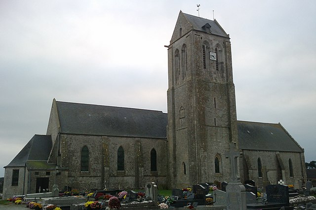
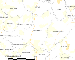
Orglandes
- commune in Manche, France
- Country:
- Postal Code: 50390
- Coordinates: 49° 25' 18" N, 1° 26' 58" E
- GPS tracks (wikiloc): [Link]
- Area: 9.26 sq km
- Population: 364


Neuville-au-Plain
- commune in Manche, France
- Country:
- Postal Code: 50480
- Coordinates: 49° 25' 39" N, 1° 19' 48" E
- GPS tracks (wikiloc): [Link]
- Area: 4.7 sq km
- Population: 91


Varenguebec
- commune in Manche, France
- Country:
- Postal Code: 50250
- Coordinates: 49° 20' 19" N, 1° 29' 53" E
- GPS tracks (wikiloc): [Link]
- Area: 21.19 sq km
- Population: 318


Fresville
- commune in Manche, France
- Country:
- Postal Code: 50310
- Coordinates: 49° 26' 23" N, 1° 21' 22" E
- GPS tracks (wikiloc): [Link]
- Area: 13.94 sq km
- Population: 362
- Web site: [Link]


Appeville
- commune in Manche, France
- Country:
- Postal Code: 50500
- Coordinates: 49° 19' 18" N, 1° 20' 35" E
- GPS tracks (wikiloc): [Link]
- Area: 13.2 sq km
- Population: 177
- Web site: [Link]