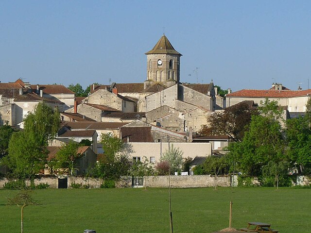
Plaizac (Plaizac)

- former commune in Charente, France
- Country:

- Postal Code: 16170
- Coordinates: 45° 45' 18" N, 0° 7' 24" E


- GPS tracks (wikiloc): [Link]
- Area: 3.98 sq km
- Population: 155
- Wikipedia en: wiki(en)
- Wikipedia: wiki(fr)
- Wikidata storage: Wikidata: Q1622895
- Wikipedia Commons Category: [Link]
- Freebase ID: [/m/03mccny]
- GeoNames ID: Alt: [2986927]
- BnF ID: [152487017]
- INSEE municipality code: 16262
Shares border with regions:


Sigogne
- commune in Charente, France
- Country:
- Postal Code: 16200
- Coordinates: 45° 44' 12" N, 0° 9' 28" E
- GPS tracks (wikiloc): [Link]
- Area: 22.16 sq km
- Population: 990
- Web site: [Link]


Vaux-Rouillac
- commune in Charente, France
- Country:
- Postal Code: 16170
- Coordinates: 45° 44' 35" N, 0° 5' 29" E
- GPS tracks (wikiloc): [Link]
- Area: 13.37 sq km
- Population: 299


Mareuil
- commune in Charente, France
- Country:
- Postal Code: 16170
- Coordinates: 45° 46' 25" N, 0° 8' 28" E
- GPS tracks (wikiloc): [Link]
- Area: 11.51 sq km
- Population: 406

Rouillac
- former commune in Charente, France
- Country:
- Postal Code: 16170
- Coordinates: 45° 46' 32" N, 0° 3' 48" E
- GPS tracks (wikiloc): [Link]
- Area: 29.28 sq km
- Population: 1937
- Web site: [Link]