Rouillac (Rouillac)

- former commune in Charente, France
- Country:

- Postal Code: 16170
- Coordinates: 45° 46' 32" N, 0° 3' 48" E


- GPS tracks (wikiloc): [Link]
- Area: 29.28 sq km
- Population: 1937
- Web site: http://www.ville-rouillac.fr
- Wikidata storage: Wikidata: Q617937
- Wikipedia Commons Category: [Link]
- Freebase ID: [/m/03mccyw]
- GeoNames ID: Alt: [6613437]
- BnF ID: [152487257]
- PACTOLS thesaurus ID: [pcrtlYiGpgpuFy]
- INSEE municipality code: 16286
Shares border with regions:


Gourville
- commune in Charente, France
- Country:
- Postal Code: 16170
- Coordinates: 45° 49' 49" N, 0° 0' 55" E
- GPS tracks (wikiloc): [Link]
- Area: 12.92 sq km
- Population: 644


Plaizac
- former commune in Charente, France
- Country:
- Postal Code: 16170
- Coordinates: 45° 45' 18" N, 0° 7' 24" E
- GPS tracks (wikiloc): [Link]
- Area: 3.98 sq km
- Population: 155


Vaux-Rouillac
- commune in Charente, France
- Country:
- Postal Code: 16170
- Coordinates: 45° 44' 35" N, 0° 5' 29" E
- GPS tracks (wikiloc): [Link]
- Area: 13.37 sq km
- Population: 299

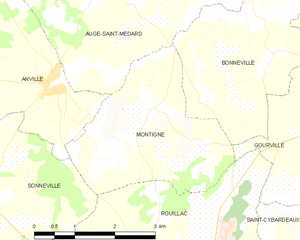
Montigné
- commune in Charente, France
- Country:
- Postal Code: 16170
- Coordinates: 45° 49' 21" N, 0° 4' 42" E
- GPS tracks (wikiloc): [Link]
- Area: 8.91 sq km
- Population: 172


Sonneville
- former commune in Charente, France
- Country:
- Postal Code: 16170
- Coordinates: 45° 48' 13" N, 0° 8' 2" E
- GPS tracks (wikiloc): [Link]
- Area: 10.43 sq km
- Population: 229


Mareuil
- commune in Charente, France
- Country:
- Postal Code: 16170
- Coordinates: 45° 46' 25" N, 0° 8' 28" E
- GPS tracks (wikiloc): [Link]
- Area: 11.51 sq km
- Population: 406


Saint-Cybardeaux
- commune in Charente, France
- Country:
- Postal Code: 16170
- Coordinates: 45° 46' 11" N, 0° 1' 22" E
- GPS tracks (wikiloc): [Link]
- Area: 21 sq km
- Population: 842