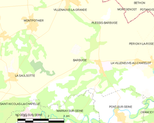
Plessis-Barbuise (Plessis-Barbuise)

- commune in Aube, France
- Country:

- Postal Code: 10400
- Coordinates: 48° 34' 36" N, 3° 35' 7" E


- GPS tracks (wikiloc): [Link]
- Area: 5.5 sq km
- Population: 189
- Wikipedia en: wiki(en)
- Wikipedia: wiki(fr)
- Wikidata storage: Wikidata: Q1104391
- Wikipedia Commons Category: [Link]
- Freebase ID: [/m/03m8v0z]
- GeoNames ID: Alt: [6426513]
- SIREN number: [211002837]
- BnF ID: [15246383t]
- INSEE municipality code: 10291
Shares border with regions:


Montgenost
- commune in Marne, France
- Country:
- Postal Code: 51260
- Coordinates: 48° 35' 50" N, 3° 35' 41" E
- GPS tracks (wikiloc): [Link]
- Area: 8.4 sq km
- Population: 160


Villenauxe-la-Grande
- commune in Aube, France
- Country:
- Postal Code: 10370
- Coordinates: 48° 35' 28" N, 3° 33' 27" E
- GPS tracks (wikiloc): [Link]
- AboveSeaLevel: 80 м m
- Area: 18.05 sq km
- Population: 2734
- Web site: [Link]


La Villeneuve-au-Châtelot
- commune in Aube, France
- Country:
- Postal Code: 10400
- Coordinates: 48° 33' 1" N, 3° 36' 43" E
- GPS tracks (wikiloc): [Link]
- AboveSeaLevel: 71 м m
- Area: 6.17 sq km
- Population: 143

Barbuise
- commune in Aube, France
- Country:
- Postal Code: 10400
- Coordinates: 48° 33' 30" N, 3° 34' 37" E
- GPS tracks (wikiloc): [Link]
- Area: 18.09 sq km
- Population: 433