Plougonvelin (Plougonvelin)

- commune in Finistère, France
- Country:

- Postal Code: 29217
- Coordinates: 48° 20' 34" N, 4° 42' 41" E


- GPS tracks (wikiloc): [Link]
- Area: 18.69 sq km
- Population: 4083
- Web site: http://www.plougonvelin.fr
- Wikipedia en: wiki(en)
- Wikipedia: wiki(fr)
- Wikidata storage: Wikidata: Q224014
- Wikipedia Commons Category: [Link]
- Freebase ID: [/m/03gyq8b]
- GeoNames ID: Alt: [6431001]
- SIREN number: [212901904]
- BnF ID: [12328891n]
- VIAF ID: Alt: [148208038]
- GND ID: Alt: [7651866-8]
- Library of Congress authority ID: Alt: [nr98029767]
- SUDOC authorities ID: [164150838]
- National Library of Israel ID: [001052458]
- FAST ID: [1285072]
- INSEE municipality code: 29190
Shares border with regions:


Ploumoguer
- commune in Finistère, France
- Country:
- Postal Code: 29810
- Coordinates: 48° 24' 13" N, 4° 43' 22" E
- GPS tracks (wikiloc): [Link]
- Area: 38.93 sq km
- Population: 1995
- Web site: [Link]


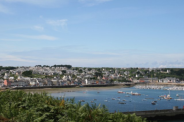
Le Conquet
- commune in Finistère, France
- Country:
- Postal Code: 29217
- Coordinates: 48° 21' 37" N, 4° 46' 15" E
- GPS tracks (wikiloc): [Link]
- Area: 8.45 sq km
- Population: 2662
- Web site: [Link]

Camaret-sur-Mer
- commune in Finistère, France
- Country:
- Postal Code: 29570
- Coordinates: 48° 16' 32" N, 4° 35' 51" E
- GPS tracks (wikiloc): [Link]
- Area: 11.64 sq km
- Population: 2583
- Web site: [Link]


Locmaria-Plouzané
- commune in Finistère, France
- Country:
- Postal Code: 29280
- Coordinates: 48° 22' 29" N, 4° 38' 37" E
- GPS tracks (wikiloc): [Link]
- Area: 23.16 sq km
- Population: 4987
- Web site: [Link]


Trébabu
- commune in Finistère, France
- Country:
- Postal Code: 29217
- Coordinates: 48° 22' 14" N, 4° 44' 7" E
- GPS tracks (wikiloc): [Link]
- Area: 4.36 sq km
- Population: 338