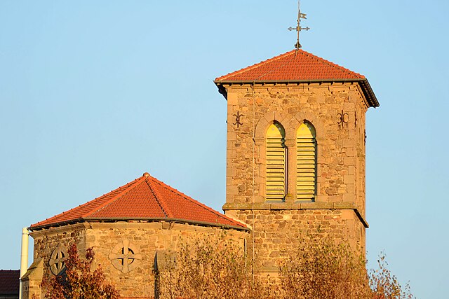
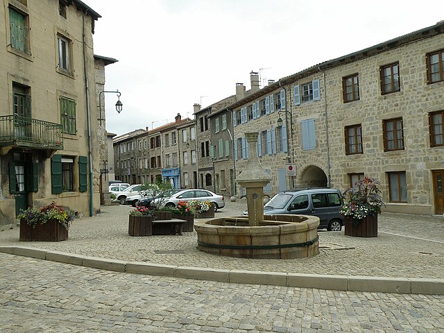
Pont-Salomon (Pont-Salomon)

- commune in Haute-Loire, France
- Country:

- Postal Code: 43330
- Coordinates: 45° 20' 16" N, 4° 14' 52" E


- GPS tracks (wikiloc): [Link]
- Area: 8.43 sq km
- Population: 2067
- Web site: http://www.pont-salomon.fr
- Wikipedia en: wiki(en)
- Wikipedia: wiki(fr)
- Wikidata storage: Wikidata: Q244290
- Wikipedia Commons Category: [Link]
- Freebase ID: [/m/03ntnkz]
- GeoNames ID: Alt: [6434390]
- SIREN number: [214301533]
- BnF ID: [15260057d]
- VIAF ID: Alt: [242728431]
- INSEE municipality code: 43153
Shares border with regions:


Monistrol-sur-Loire
- commune in Haute-Loire, France
- Country:
- Postal Code: 43120
- Coordinates: 45° 17' 33" N, 4° 10' 20" E
- GPS tracks (wikiloc): [Link]
- Area: 48.25 sq km
- Population: 8793
- Web site: [Link]


La Séauve-sur-Semène
- commune in Haute-Loire, France
- Country:
- Postal Code: 43140
- Coordinates: 45° 17' 44" N, 4° 15' 1" E
- GPS tracks (wikiloc): [Link]
- Area: 7.86 sq km
- Population: 1466
- Web site: [Link]
La Chapelle-d'Aurec
- commune in Haute-Loire, France
- Country:
- Postal Code: 43120
- Coordinates: 45° 20' 6" N, 4° 12' 24" E
- GPS tracks (wikiloc): [Link]
- Area: 11.79 sq km
- Population: 984


Aurec-sur-Loire
- commune in Haute-Loire, France
- Country:
- Postal Code: 43110
- Coordinates: 45° 22' 9" N, 4° 12' 6" E
- GPS tracks (wikiloc): [Link]
- Area: 22.44 sq km
- Population: 6102
- Web site: [Link]

Saint-Ferréol-d'Auroure
- commune in Haute-Loire, France
- Country:
- Postal Code: 43330
- Coordinates: 45° 21' 18" N, 4° 15' 17" E
- GPS tracks (wikiloc): [Link]
- Area: 10.85 sq km
- Population: 2438

Saint-Didier-en-Velay
- commune in Haute-Loire, France
- Country:
- Postal Code: 43140
- Coordinates: 45° 18' 10" N, 4° 16' 31" E
- GPS tracks (wikiloc): [Link]
- Area: 25.56 sq km
- Population: 3444