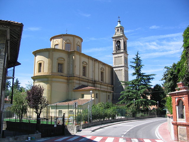
Pontida (Pontida)
.svg)
- Italian comune
 Hiking in Pontida
Pontida is a charming town located in the province of Bergamo, in the Lombardy region of northern Italy. It is situated near the foothills of the Italian Alps, which makes it an excellent base for hiking and outdoor activities. Here's what you should know about hiking in and around Pontida:
Hiking Trails
-
Local Trails: The area surrounding Pontida features numerous trails that vary in difficulty, making it suitable for both beginners and experienced hikers. You can explore paths that wind through forests, meadows, and hills, providing stunning views of the landscape and the nearby mountains.
-
Monte Canto: One popular hike is up to Monte Canto, which offers panoramic views of the surrounding area. The trail is well-marked and provides a moderate challenge, making it a great option for families and casual hikers.
-
Sentiero dei Pizzoni: This scenic trail allows you to explore the natural beauty of the area, connecting Pontida with nearby villages and offering picturesque views along the way.
Nature and Scenery
Hiking in Pontida allows you to experience the rich natural diversity of the Lombardy region. The trails often lead through lush forests, past peaceful streams, and offer glimpses of local wildlife. The views from the higher elevations are particularly rewarding, showcasing the relationship between the mountains and the valleys.
Best Time to Hike
The most favorable time for hiking in this region is during the spring and early fall when the weather is generally mild, and the landscapes are vibrant with blooming flowers or autumn colors. Summer can be warm but is still suitable for hiking, especially in the mornings or late afternoons.
Precautions
As with any hiking adventure, be sure to:
- Carry plenty of water and snacks.
- Wear appropriate footwear and clothing.
- Check the weather conditions before heading out.
- Inform someone of your hiking plans and estimated return time.
Local Amenities
After your hike, you can enjoy the local cuisine in Pontida or relax in one of the cafes or restaurants to savor traditional Lombard dishes.
Overall, hiking in Pontida offers a wonderful opportunity to explore the beautiful Italian countryside while enjoying outdoor adventure. Always remember to respect nature and leave no trace behind!
- Country:

- Postal Code: 24030
- Local Dialing Code: 035
- Licence Plate Code: BG
- Coordinates: 45° 44' 2" N, 9° 30' 23" E


- GPS tracks (wikiloc): [Link]
- AboveSeaLevel: 313 м m
- Area: 10.38 sq km
- Population: 3358
- Web site: http://www.pontinvrea.com
- Wikipedia en: wiki(en)
- Wikipedia: wiki(it)
- Wikidata storage: Wikidata: Q101433
- Wikipedia Commons Gallery: [Link]
- Wikipedia Commons Category: [Link]
- Freebase ID: [/m/0gjcyj]
- GeoNames ID: Alt: [6541994]
- VIAF ID: Alt: [124349831]
- OSM relation ID: [45883]
- UN/LOCODE: [ITOTD]
- ISTAT ID: 016171
- Italian cadastre code: G864
Shares border with regions:

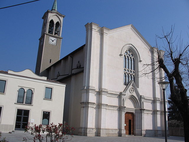
Caprino Bergamasco
- Italian comune
Hiking in Caprino Bergamasco
Caprino Bergamasco, located in the Lombardy region of Italy, offers a variety of hiking opportunities amidst beautiful landscapes. The area is characterized by rolling hills, picturesque villages, and stunning views of the surrounding valleys and mountains....
- Country:
- Postal Code: 24030
- Local Dialing Code: 035
- Licence Plate Code: BG
- Coordinates: 45° 45' 25" N, 9° 29' 4" E
- GPS tracks (wikiloc): [Link]
- AboveSeaLevel: 315 м m
- Area: 8.78 sq km
- Population: 3067
- Web site: [Link]

Carvico
- Italian comune
Hiking in Carvico
Carvico, located in the Lombardy region of Italy, is a charming destination for hikers and nature enthusiasts. Situated near the stunning Orobie Alps and not far from the picturesque Lake Como, Carvico offers a variety of trails that cater to different skill levels, from leisurely walks to more challenging hikes....
- Country:
- Postal Code: 24030
- Local Dialing Code: 035
- Licence Plate Code: BG
- Coordinates: 45° 42' 0" N, 9° 29' 0" E
- GPS tracks (wikiloc): [Link]
- AboveSeaLevel: 287 м m
- Area: 4.59 sq km
- Population: 4659
- Web site: [Link]


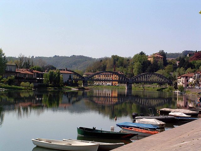
Cisano Bergamasco
- Italian comune
Hiking in Cisano Bergamasco
Cisano Bergamasco is a picturesque town located in the province of Bergamo, Lombardy, Italy. It's nestled near the Adda River and surrounded by lush green landscapes, making it an attractive destination for hiking enthusiasts. Here are some highlights and tips for hiking in and around Cisano Bergamasco:...
- Country:
- Postal Code: 24034
- Local Dialing Code: 035
- Licence Plate Code: BG
- Coordinates: 45° 44' 35" N, 9° 28' 15" E
- GPS tracks (wikiloc): [Link]
- AboveSeaLevel: 268 м m
- Area: 7.82 sq km
- Population: 6377
- Web site: [Link]


Palazzago
- Italian comune
Hiking in Palazzago
Palazzago, located in the Lombardy region of Italy, offers a picturesque setting for hiking enthusiasts. Nestled in the foothills of the Bergamasque Alps, this area features a mix of natural beauty, historical sites, and charming villages, making it an attractive destination for outdoor activities....
- Country:
- Postal Code: 24030
- Local Dialing Code: 035
- Licence Plate Code: BG
- Coordinates: 45° 45' 7" N, 9° 32' 7" E
- GPS tracks (wikiloc): [Link]
- AboveSeaLevel: 397 м m
- Area: 13.98 sq km
- Population: 4497
- Web site: [Link]


Sotto il Monte Giovanni XXIII
- Italian comune
Hiking in Sotto il Monte Giovanni XXIII
Sotto il Monte Giovanni XXIII is a picturesque area located in the Lombardy region of Italy, known for its natural beauty, rolling hills, and historical significance, particularly as the birthplace of Pope John XXIII. Hiking in this area offers a blend of serene landscapes, cultural landmarks, and opportunities for various outdoor activities....
- Country:
- Postal Code: 24039
- Local Dialing Code: 035
- Licence Plate Code: BG
- Coordinates: 45° 42' 26" N, 9° 29' 57" E
- GPS tracks (wikiloc): [Link]
- AboveSeaLevel: 305 м m
- Area: 5.02 sq km
- Population: 3864
- Web site: [Link]


Villa d'Adda
- Italian comune
Hiking in Villa d'Adda
Villa d'Adda is a charming location in Italy, situated on the banks of the Adda River in the Lombardy region. This area is well-suited for hiking enthusiasts, offering scenic trails, beautiful landscapes, and opportunities to experience local culture....
- Country:
- Postal Code: 24030
- Local Dialing Code: 035
- Licence Plate Code: BG
- Coordinates: 45° 43' 0" N, 9° 28' 0" E
- GPS tracks (wikiloc): [Link]
- AboveSeaLevel: 286 м m
- Area: 5.98 sq km
- Population: 4681
- Web site: [Link]


Calco
- Italian comune
Hiking in Calco
Calco is a picturesque town located in the Lombardy region of Italy, known for its rich history and beautiful landscapes. While it may not be as popular as some of the well-known hiking destinations in the country, it offers some charming trails for hikers looking to explore the scenic surroundings....
- Country:
- Postal Code: 23885
- Local Dialing Code: 039
- Licence Plate Code: LC
- Coordinates: 45° 43' 0" N, 9° 25' 0" E
- GPS tracks (wikiloc): [Link]
- AboveSeaLevel: 320 м m
- Area: 4.59 sq km
- Population: 5341
- Web site: [Link]

Brivio
- Italian comune
Hiking in Brivio
Brivio, a charming town located in the province of Lecco, Lombardy, Italy, is known for its picturesque landscapes and rich history, making it an appealing destination for hiking enthusiasts. The area surrounding Brivio offers a variety of trails suitable for different experience levels, providing opportunities to explore the beautiful countryside, rivers, and hills....
- Country:
- Postal Code: 23883
- Local Dialing Code: 039
- Licence Plate Code: LC
- Coordinates: 45° 45' 0" N, 9° 27' 0" E
- GPS tracks (wikiloc): [Link]
- AboveSeaLevel: 208 м m
- Area: 7.95 sq km
- Population: 4620
- Web site: [Link]

Ambivere
- Italian comune
Hiking in Ambivere
Ambivere, located in the Indian state of Karnataka, is a hidden gem for hiking enthusiasts. Nestled in the picturesque landscapes of the Western Ghats, this area offers a range of outdoor activities amid lush greenery, hills, and serene natural beauty. Here’s what you might want to know about hiking in Ambivere:...
- Country:
- Postal Code: 24030
- Local Dialing Code: 035
- Licence Plate Code: BG
- Coordinates: 45° 43' 4" N, 9° 32' 55" E
- GPS tracks (wikiloc): [Link]
- AboveSeaLevel: 261 м m
- Area: 3.28 sq km
- Population: 2348
- Web site: [Link]