Port-des-Barques (Port-des-Barques)

- commune in Charente-Maritime, France
- Country:

- Postal Code: 17730
- Coordinates: 45° 56' 51" N, 1° 4' 43" E


- GPS tracks (wikiloc): [Link]
- Area: 5.66 sq km
- Population: 1765
- Web site: http://www.ville-portdesbarques.fr
- Wikipedia en: wiki(en)
- Wikipedia: wiki(fr)
- Wikidata storage: Wikidata: Q1351162
- Wikipedia Commons Category: [Link]
- Freebase ID: [/m/03mcjh8]
- GeoNames ID: Alt: [6616029]
- SIREN number: [211704846]
- BnF ID: [15249344n]
- PACTOLS thesaurus ID: [pcrtvsILQfWy5v]
- INSEE municipality code: 17484
Shares border with regions:


Saint-Laurent-de-la-Prée
- commune in Charente-Maritime, France
- Country:
- Postal Code: 17450
- Coordinates: 45° 58' 52" N, 1° 2' 28" E
- GPS tracks (wikiloc): [Link]
- Area: 27.51 sq km
- Population: 2071
- Web site: [Link]


Saint-Nazaire-sur-Charente
- commune in Charente-Maritime, France
- Country:
- Postal Code: 17780
- Coordinates: 45° 56' 8" N, 1° 3' 10" E
- GPS tracks (wikiloc): [Link]
- Area: 20.31 sq km
- Population: 1183
- Web site: [Link]

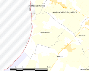
Saint-Froult
- commune in Charente-Maritime, France
- Country:
- Postal Code: 17780
- Coordinates: 45° 55' 4" N, 1° 3' 36" E
- GPS tracks (wikiloc): [Link]
- Area: 6.39 sq km
- Population: 344


Fouras
- commune in Charente-Maritime, France
- Country:
- Postal Code: 17450
- Coordinates: 45° 59' 16" N, 1° 5' 35" E
- GPS tracks (wikiloc): [Link]
- Area: 9.51 sq km
- Population: 4047
- Web site: [Link]