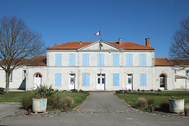
Saint-Laurent-de-la-Prée (Saint-Laurent-de-la-Prée)

- commune in Charente-Maritime, France
- Country:

- Postal Code: 17450
- Coordinates: 45° 58' 52" N, 1° 2' 28" E


- GPS tracks (wikiloc): [Link]
- Area: 27.51 sq km
- Population: 2071
- Web site: http://saint-laurent.over-blog.fr
- Wikipedia en: wiki(en)
- Wikipedia: wiki(fr)
- Wikidata storage: Wikidata: Q1144557
- Wikipedia Commons Category: [Link]
- Freebase ID: [/m/03mck74]
- SIREN number: [211703533]
- BnF ID: [15249214f]
- VIAF ID: Alt: [296598845]
- PACTOLS thesaurus ID: [pcrtG47vSPsi7M]
- INSEE municipality code: 17353
Shares border with regions:

Breuil-Magné
- commune in Charente-Maritime, France
- Country:
- Postal Code: 17870
- Coordinates: 45° 59' 5" N, 0° 57' 36" E
- GPS tracks (wikiloc): [Link]
- Area: 22.25 sq km
- Population: 1638
- Web site: [Link]


Yves
- commune in Charente-Maritime, France
- Country:
- Postal Code: 17340
- Coordinates: 46° 2' 25" N, 1° 2' 42" E
- GPS tracks (wikiloc): [Link]
- Area: 25.75 sq km
- Population: 1480


Vergeroux
- commune in Charente-Maritime, France
- Country:
- Postal Code: 17300
- Coordinates: 45° 57' 39" N, 0° 59' 10" E
- GPS tracks (wikiloc): [Link]
- Area: 5.53 sq km
- Population: 1182


Saint-Nazaire-sur-Charente
- commune in Charente-Maritime, France
- Country:
- Postal Code: 17780
- Coordinates: 45° 56' 8" N, 1° 3' 10" E
- GPS tracks (wikiloc): [Link]
- Area: 20.31 sq km
- Population: 1183
- Web site: [Link]


Port-des-Barques
- commune in Charente-Maritime, France
- Country:
- Postal Code: 17730
- Coordinates: 45° 56' 51" N, 1° 4' 43" E
- GPS tracks (wikiloc): [Link]
- Area: 5.66 sq km
- Population: 1765
- Web site: [Link]


Fouras
- commune in Charente-Maritime, France
- Country:
- Postal Code: 17450
- Coordinates: 45° 59' 16" N, 1° 5' 35" E
- GPS tracks (wikiloc): [Link]
- Area: 9.51 sq km
- Population: 4047
- Web site: [Link]