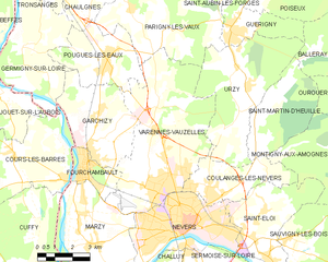
Pougues-les-Eaux (Pougues-les-Eaux)

- commune in Nièvre, France
- Country:

- Postal Code: 58320
- Coordinates: 47° 4' 28" N, 3° 6' 5" E


- GPS tracks (wikiloc): [Link]
- Area: 12.72 sq km
- Population: 2422
- Web site: http://ville-pouguesleseaux.fr
- Wikipedia en: wiki(en)
- Wikipedia: wiki(fr)
- Wikidata storage: Wikidata: Q46575
- Wikipedia Commons Category: [Link]
- Freebase ID: [/m/03qff3k]
- GeoNames ID: Alt: [2985865]
- SIREN number: [215802141]
- BnF ID: [152664798]
- VIAF ID: Alt: [138829136]
- PACTOLS thesaurus ID: [pcrt0Ai635jMWu]
- SUDOC authorities ID: [033685908]
- EMLO location ID: [5bce301f-33f9-47dc-997d-4c6916aaee35]
- INSEE municipality code: 58214
Shares border with regions:
Germigny-sur-Loire
- commune in Nièvre, France
- Country:
- Postal Code: 58320
- Coordinates: 47° 4' 52" N, 3° 2' 16" E
- GPS tracks (wikiloc): [Link]
- AboveSeaLevel: 200 м m
- Area: 18.78 sq km
- Population: 770


Garchizy
- commune in Nièvre, France
- Country:
- Postal Code: 58600
- Coordinates: 47° 2' 50" N, 3° 5' 43" E
- GPS tracks (wikiloc): [Link]
- Area: 16.42 sq km
- Population: 3720

Varennes-Vauzelles
- commune in Nièvre, France
- Country:
- Postal Code: 58640
- Coordinates: 47° 0' 44" N, 3° 8' 47" E
- GPS tracks (wikiloc): [Link]
- AboveSeaLevel: 195 м m
- Area: 33.99 sq km
- Population: 9449
- Web site: [Link]
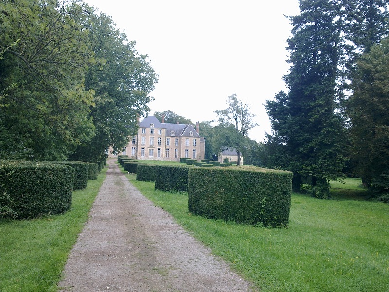
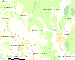
Parigny-les-Vaux
- commune in Nièvre, France
- Country:
- Postal Code: 58320
- Coordinates: 47° 5' 30" N, 3° 8' 54" E
- GPS tracks (wikiloc): [Link]
- Area: 31.47 sq km
- Population: 955
Chaulgnes
- commune in Nièvre, France
- Country:
- Postal Code: 58400
- Coordinates: 47° 7' 46" N, 3° 6' 13" E
- GPS tracks (wikiloc): [Link]
- Area: 25.1 sq km
- Population: 1486
- Web site: [Link]