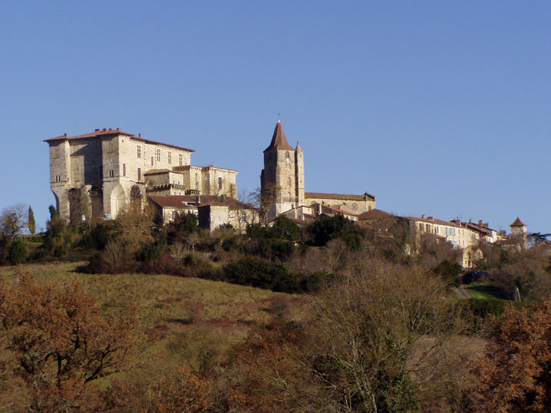
Préchac (Préchac)

- commune in Gers, France
- Country:

- Postal Code: 32390
- Coordinates: 43° 47' 26" N, 0° 34' 33" E


- GPS tracks (wikiloc): [Link]
- Area: 12.79 sq km
- Population: 186
- Wikipedia en: wiki(en)
- Wikipedia: wiki(fr)
- Wikidata storage: Wikidata: Q550585
- Wikipedia Commons Category: [Link]
- Freebase ID: [/m/03nrs3q]
- GeoNames ID: Alt: [6614371]
- SIREN number: [213203292]
- BnF ID: [15255915z]
- INSEE municipality code: 32329
Shares border with regions:
Réjaumont
- commune in Gers, France
- Country:
- Postal Code: 32390
- Coordinates: 43° 48' 52" N, 0° 33' 2" E
- GPS tracks (wikiloc): [Link]
- Area: 13.6 sq km
- Population: 238
- Web site: [Link]
Puységur
- commune in Gers, France
- Country:
- Postal Code: 32390
- Coordinates: 43° 46' 36" N, 0° 36' 18" E
- GPS tracks (wikiloc): [Link]
- Area: 7.26 sq km
- Population: 77
Montestruc-sur-Gers
- commune in Gers, France
- Country:
- Postal Code: 32390
- Coordinates: 43° 47' 34" N, 0° 37' 44" E
- GPS tracks (wikiloc): [Link]
- Area: 16.31 sq km
- Population: 714


Fleurance
- commune in Gers, France
- Country:
- Postal Code: 32500
- Coordinates: 43° 50' 58" N, 0° 39' 49" E
- GPS tracks (wikiloc): [Link]
- Area: 43.32 sq km
- Population: 6181
- Web site: [Link]

Lavardens
- commune in Gers, France
- Country:
- Postal Code: 32360
- Coordinates: 43° 45' 39" N, 0° 30' 49" E
- GPS tracks (wikiloc): [Link]
- Area: 30.55 sq km
- Population: 394
Cézan
- commune in Gers, France
- Country:
- Postal Code: 32410
- Coordinates: 43° 48' 45" N, 0° 29' 58" E
- GPS tracks (wikiloc): [Link]
- Area: 12.22 sq km
- Population: 214