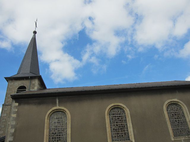
Rédange (Rédange)

- commune in Moselle, France
- Country:

- Postal Code: 57390
- Coordinates: 49° 29' 39" N, 5° 55' 10" E


- GPS tracks (wikiloc): [Link]
- AboveSeaLevel: 362 м m
- Area: 5.5 sq km
- Population: 954
- Wikipedia en: wiki(en)
- Wikipedia: wiki(fr)
- Wikidata storage: Wikidata: Q22043
- Wikipedia Commons Category: [Link]
- Freebase ID: [/m/03qf6t2]
- Freebase ID: [/m/03qf6t2]
- GeoNames ID: Alt: [6614763]
- GeoNames ID: Alt: [6614763]
- SIREN number: [215705658]
- SIREN number: [215705658]
- VIAF ID: Alt: [157980609]
- VIAF ID: Alt: [157980609]
- INSEE municipality code: 57565
- INSEE municipality code: 57565
Shares border with regions:


Thil
- commune in Meurthe-et-Moselle, France
- Country:
- Postal Code: 54880
- Coordinates: 49° 28' 23" N, 5° 54' 30" E
- GPS tracks (wikiloc): [Link]
- Area: 3.32 sq km
- Population: 1730

Russange
- commune in Moselle, France
- Country:
- Postal Code: 57390
- Coordinates: 49° 28' 51" N, 5° 57' 13" E
- GPS tracks (wikiloc): [Link]
- Area: 3.46 sq km
- Population: 1258
- Web site: [Link]

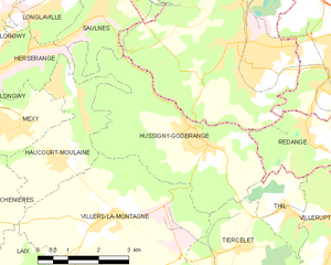
Hussigny-Godbrange
- commune in Meurthe-et-Moselle, France
- Country:
- Postal Code: 54590
- Coordinates: 49° 29' 34" N, 5° 52' 27" E
- GPS tracks (wikiloc): [Link]
- Area: 15.37 sq km
- Population: 3514
- Web site: [Link]


Villerupt
- commune in Meurthe-et-Moselle, France
- Country:
- Postal Code: 54190
- Coordinates: 49° 28' 11" N, 5° 55' 43" E
- GPS tracks (wikiloc): [Link]
- AboveSeaLevel: 380 м m
- Area: 6.56 sq km
- Population: 9552
- Web site: [Link]