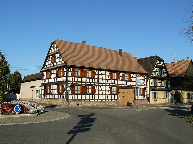
Rhinau (Rhinau)
- commune in Bas-Rhin, France
- Country:

- Postal Code: 67860
- Coordinates: 48° 19' 10" N, 7° 42' 10" E


- GPS tracks (wikiloc): [Link]
- Area: 17.35 sq km
- Population: 2735
- Wikipedia en: wiki(en)
- Wikipedia: wiki(fr)
- Wikidata storage: Wikidata: Q22393
- Wikipedia Commons Category: [Link]
- Freebase ID: [/m/03m9bb_]
- Freebase ID: [/m/03m9bb_]
- GeoNames ID: Alt: [2983761]
- GeoNames ID: Alt: [2983761]
- SIREN number: [216703975]
- SIREN number: [216703975]
- BnF ID: [152715399]
- BnF ID: [152715399]
- VIAF ID: Alt: [243205494]
- VIAF ID: Alt: [243205494]
- PACTOLS thesaurus ID: [pcrtN1sOdJMDvS]
- PACTOLS thesaurus ID: [pcrtN1sOdJMDvS]
- WOEID: [619313]
- WOEID: [619313]
- TGN ID: [1035075]
- TGN ID: [1035075]
- INSEE municipality code: 67397
- INSEE municipality code: 67397
Shares border with regions:


Daubensand
- commune in Bas-Rhin, France
- Country:

- Postal Code: 67150
- Coordinates: 48° 20' 50" N, 7° 43' 18" E


- GPS tracks (wikiloc): [Link]
- AboveSeaLevel: 155.0 м m
- Area: 3.87 sq km
- Population: 378
- Web site: [Link]


Diebolsheim
- commune in Bas-Rhin, France
- Country:

- Postal Code: 67230
- Coordinates: 48° 17' 27" N, 7° 39' 49" E


- GPS tracks (wikiloc): [Link]
- Area: 7.03 sq km
- Population: 702


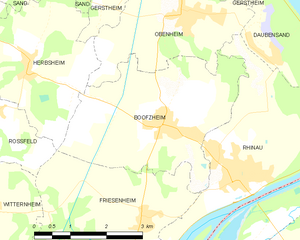
Boofzheim
- commune in Bas-Rhin, France
- Country:

- Postal Code: 67860
- Coordinates: 48° 19' 54" N, 7° 40' 51" E


- GPS tracks (wikiloc): [Link]
- Area: 11.94 sq km
- Population: 1331


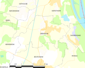
Obenheim
- commune in Bas-Rhin, France
- Country:

- Postal Code: 67230
- Coordinates: 48° 21' 37" N, 7° 41' 21" E


- GPS tracks (wikiloc): [Link]
- Area: 7.99 sq km
- Population: 1405


Friesenheim
- commune in Bas-Rhin, France
- Country:

- Postal Code: 67860
- Coordinates: 48° 18' 35" N, 7° 40' 15" E


- GPS tracks (wikiloc): [Link]
- Area: 12.03 sq km
- Population: 623


Sundhouse
- commune in Bas-Rhin, France
- Country:

- Postal Code: 67920
- Coordinates: 48° 15' 3" N, 7° 36' 11" E


- GPS tracks (wikiloc): [Link]
- Area: 15.69 sq km
- Population: 1779
