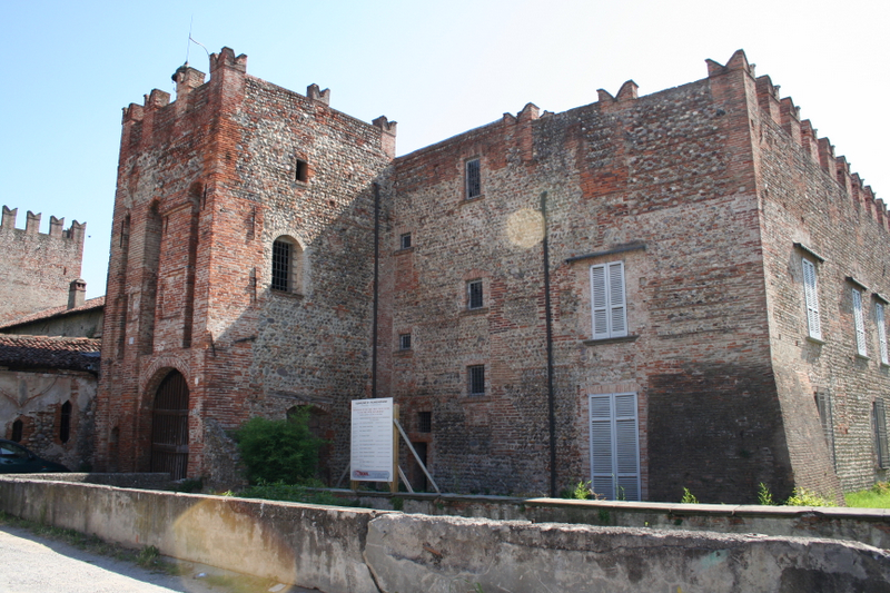
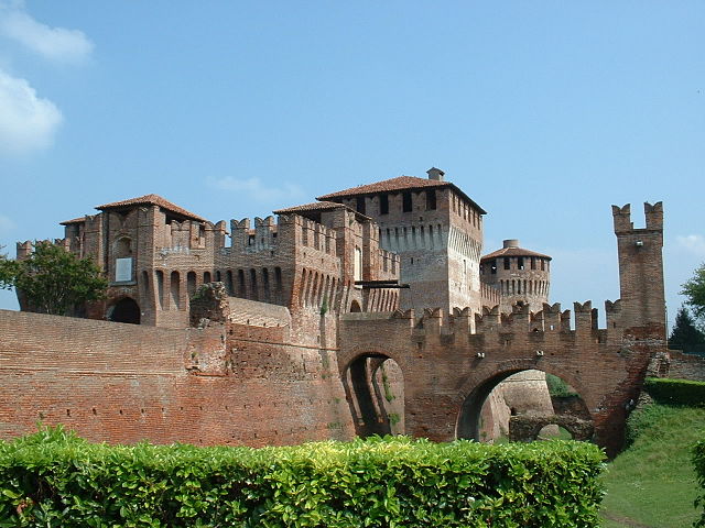
Roccafranca (Roccafranca)
.svg)
- Italian comune
 Hiking in Roccafranca
Roccafranca, located in the Lombardy region of Italy, is not typically known as a major hiking destination, but it has its charm and opportunities for outdoor activities. The surrounding areas offer scenic landscapes that can be explored through various trails.
Here are a few things to keep in mind when hiking in and around Roccafranca:
-
Local Trails: While Roccafranca itself may not have well-defined hiking trails, there are rural paths and small tracks leading through the countryside and nearby areas. Exploring these can provide a beautiful view of the Italian countryside.
-
Nearby Natural Parks: Consider venturing to nearby natural parks. For instance, the Parco Regionale dell'Oglio Sud is a bit farther but offers a variety of trails and nature experiences, including the chance to explore riparian forests, wetlands, and the Oglio River.
-
Terrain and Difficulty: The area around Roccafranca is typically flat, making hikes relatively easy and suitable for all skill levels. This could be ideal for families or those looking for a leisurely outing.
-
Flora and Fauna: While hiking, you can observe the local flora and fauna. The region often showcases a mix of agricultural land and natural habitats, providing opportunities for birdwatching and enjoying the variety of plant life.
-
Weather Considerations: Always check the weather before heading out, especially during spring and summer when thunderstorms can develop. Carry suitable gear including water, snacks, and sun protection.
-
Cultural Aspects: Besides natural beauty, you may also come across local farms, small villages, and traditional Lombard architecture, which adds a cultural dimension to your hiking experience.
-
Guided Tours: If you're unfamiliar with the area, consider local guided hikes. Local guides can enhance your experience by sharing insights about the landscape and history.
Before planning your hike, it’s advisable to check local resources or visitor centers for updated trail maps and any guidance on current conditions. Enjoy your hiking adventure!
- Country:

- Postal Code: 25030
- Local Dialing Code: 030
- Licence Plate Code: BS
- Coordinates: 45° 28' 0" N, 9° 55' 0" E


- GPS tracks (wikiloc): [Link]
- AboveSeaLevel: 117 м m
- Area: 19 sq km
- Population: 4777
- Web site: http://www.comune.roccafranca.bs.it
- Wikipedia en: wiki(en)
- Wikipedia: wiki(it)
- Wikidata storage: Wikidata: Q111606
- Wikipedia Commons Category: [Link]
- Freebase ID: [/m/047ntp]
- GeoNames ID: Alt: [6536192]
- VIAF ID: Alt: [158630455]
- OSM relation ID: [45023]
- TGN ID: [7042277]
- UN/LOCODE: [ITZRT]
- ISTAT ID: 017162
- Italian cadastre code: H410
Shares border with regions:

Pumenengo
- Italian comune
Hiking in Pumenengo
It seems there might be some confusion, as there isn't a well-known hiking destination specifically named "Pumenengo." It's possible you meant a different location, or it could be a lesser-known area....
- Country:
- Postal Code: 24050
- Local Dialing Code: 0363
- Licence Plate Code: BG
- Coordinates: 45° 28' 0" N, 9° 52' 0" E
- GPS tracks (wikiloc): [Link]
- AboveSeaLevel: 106 м m
- Area: 10.12 sq km
- Population: 1715
- Web site: [Link]


Torre Pallavicina
- Italian comune
Hiking in Torre Pallavicina
Torre Pallavicina is located in the province of Bergamo, in northern Italy. It is a small town that offers an excellent opportunity for nature lovers and hiking enthusiasts to explore the beautiful landscapes of the Lombardy region. While the town itself may not be widely known as a hiking destination, there are several trails nearby that allow hikers to experience the stunning scenery, rich culture, and diverse flora and fauna typical of the area....
- Country:
- Postal Code: 24050
- Local Dialing Code: 0363
- Licence Plate Code: BG
- Coordinates: 45° 27' 0" N, 9° 52' 0" E
- GPS tracks (wikiloc): [Link]
- AboveSeaLevel: 95 м m
- Area: 10.62 sq km
- Population: 1067
- Web site: [Link]

Chiari
- Italian comune
Hiking in Chiari
Chiari, located in the province of Brescia in Lombardy, Italy, is not only known for its charming historic center but also for its access to beautiful natural landscapes that are ideal for hiking enthusiasts. The surrounding area offers various trails and paths that cater to different skill levels, making it a great destination for both beginners and experienced hikers....
- Country:
- Postal Code: 25032
- Local Dialing Code: 030
- Licence Plate Code: BS
- Coordinates: 45° 31' 11" N, 9° 53' 0" E
- GPS tracks (wikiloc): [Link]
- AboveSeaLevel: 145 м m
- Area: 38.02 sq km
- Population: 18944
- Web site: [Link]
Comezzano-Cizzago
- Italian comune
Hiking in Comezzano-Cizzago
Comezzano-Cizzago, located in the province of Brescia in northern Italy, is a charming area that offers some lovely hiking opportunities through its picturesque landscapes and nearby natural attractions....
- Country:
- Postal Code: 25030
- Local Dialing Code: 030
- Licence Plate Code: BS
- Coordinates: 45° 28' 0" N, 9° 57' 0" E
- GPS tracks (wikiloc): [Link]
- AboveSeaLevel: 107 м m
- Area: 15.44 sq km
- Population: 3919
- Web site: [Link]

Orzinuovi
- Italian comune
Hiking in Orzinuovi
Orzinuovi is a charming town located in the Lombardy region of Italy, characterized by its picturesque landscapes and varied natural scenery. While not as widely recognized for its hiking trails as some other areas in Italy, Orzinuovi and its surroundings offer opportunities for those who enjoy walking in nature....
- Country:
- Postal Code: 25030; 25034
- Local Dialing Code: 030
- Licence Plate Code: BS
- Coordinates: 45° 24' 0" N, 9° 56' 0" E
- GPS tracks (wikiloc): [Link]
- AboveSeaLevel: 81 м m
- Area: 47.87 sq km
- Population: 12419
- Web site: [Link]
Orzivecchi
- Italian comune
Hiking in Orzivecchi
Orzivecchi is a small town in the Lombardy region of Italy, and while it may not be widely recognized as a major hiking destination, there are opportunities to explore the natural beauty of the surrounding area. Here are some aspects to consider if you're planning to hike near Orzivecchi:...
- Country:
- Postal Code: 25030
- Local Dialing Code: 030
- Licence Plate Code: BS
- Coordinates: 45° 25' 0" N, 9° 58' 0" E
- GPS tracks (wikiloc): [Link]
- AboveSeaLevel: 91 м m
- Area: 9.94 sq km
- Population: 2442
- Web site: [Link]
Rudiano
- Italian comune
Hiking in Rudiano
Rudiano is a small town in the Lombardy region of Italy, known for its picturesque landscapes and tranquil environment. While it may not be a widely recognized hiking destination, the surrounding area offers opportunities for outdoor activities, especially for those who enjoy exploring less crowded trails....
- Country:
- Postal Code: 25030
- Local Dialing Code: 030
- Licence Plate Code: BS
- Coordinates: 45° 29' 0" N, 9° 53' 0" E
- GPS tracks (wikiloc): [Link]
- AboveSeaLevel: 117 м m
- Area: 9.85 sq km
- Population: 5783
- Web site: [Link]

Soncino
- Italian comune
Hiking in Soncino
Soncino, located in the Lombardy region of northern Italy, is primarily known for its historical architecture, beautiful countryside, and the picturesque views of the surrounding areas. While it may not be as well-known as some of the more prominent hiking destinations in Lombardy, it does offer some opportunities for walking and hiking enthusiasts to explore the scenic landscapes....
- Country:
- Postal Code: 26029
- Local Dialing Code: 0374
- Licence Plate Code: CR
- Coordinates: 45° 24' 0" N, 9° 52' 0" E
- GPS tracks (wikiloc): [Link]
- AboveSeaLevel: 89 м m
- Area: 45.32 sq km
- Population: 7665
- Web site: [Link]