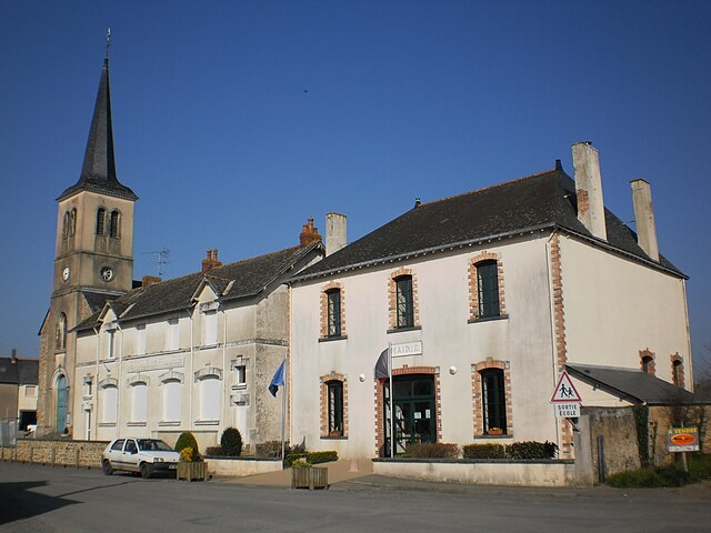
Rougé (Rougé)

- commune in Loire-Atlantique, France
- Country:

- Postal Code: 44660
- Coordinates: 47° 46' 58" N, 1° 26' 54" E


- GPS tracks (wikiloc): [Link]
- Area: 56.32 sq km
- Population: 2247
- Web site: http://mairie-rouge.fr
- Wikipedia en: wiki(en)
- Wikipedia: wiki(fr)
- Wikidata storage: Wikidata: Q1065301
- Wikipedia Commons Category: [Link]
- Freebase ID: [/m/09z6k6]
- Freebase ID: [/m/09z6k6]
- GeoNames ID: Alt: [2982615]
- GeoNames ID: Alt: [2982615]
- SIREN number: [214401465]
- SIREN number: [214401465]
- BnF ID: [152603159]
- BnF ID: [152603159]
- VIAF ID: Alt: [146712044]
- VIAF ID: Alt: [146712044]
- PACTOLS thesaurus ID: [pcrt5UAF2nwy2M]
- PACTOLS thesaurus ID: [pcrt5UAF2nwy2M]
- INSEE municipality code: 44146
- INSEE municipality code: 44146
Shares border with regions:


Ruffigné
- commune in Loire-Atlantique, France
- Country:
- Postal Code: 44660
- Coordinates: 47° 45' 25" N, 1° 29' 37" E
- GPS tracks (wikiloc): [Link]
- Area: 33.63 sq km
- Population: 714
- Web site: [Link]


Fercé
- commune in Loire-Atlantique, France
- Country:
- Postal Code: 44660
- Coordinates: 47° 47' 46" N, 1° 24' 55" E
- GPS tracks (wikiloc): [Link]
- AboveSeaLevel: 115 м m
- Area: 22.04 sq km
- Population: 493
- Web site: [Link]


Soudan
- commune in Loire-Atlantique, France
- Country:
- Postal Code: 44110
- Coordinates: 47° 44' 15" N, 1° 18' 17" E
- GPS tracks (wikiloc): [Link]
- Area: 53.82 sq km
- Population: 1998
- Web site: [Link]


Saint-Aubin-des-Châteaux
- commune in Loire-Atlantique, France
- Country:
- Postal Code: 44110
- Coordinates: 47° 43' 12" N, 1° 29' 11" E
- GPS tracks (wikiloc): [Link]
- Area: 47.56 sq km
- Population: 1765
- Web site: [Link]
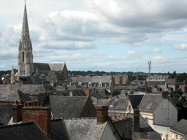

Châteaubriant
- commune in Loire-Atlantique, France
- Country:
- Postal Code: 44110
- Coordinates: 47° 43' 0" N, 1° 23' 0" E
- GPS tracks (wikiloc): [Link]
- Area: 33.62 sq km
- Population: 12067
- Web site: [Link]


Teillay
- commune in Ille-et-Vilaine, France
- Country:
- Postal Code: 35620
- Coordinates: 47° 48' 26" N, 1° 32' 19" E
- GPS tracks (wikiloc): [Link]
- Area: 26.21 sq km
- Population: 1072
- Web site: [Link]

Soulvache
- commune in Loire-Atlantique, France
- Country:
- Postal Code: 44660
- Coordinates: 47° 49' 45" N, 1° 28' 24" E
- GPS tracks (wikiloc): [Link]
- Area: 11.27 sq km
- Population: 356
- Web site: [Link]


Noyal-sur-Brutz
- commune in Loire-Atlantique, France
- Country:
- Postal Code: 44110
- Coordinates: 47° 46' 34" N, 1° 20' 49" E
- GPS tracks (wikiloc): [Link]
- Area: 7.71 sq km
- Population: 589
- Web site: [Link]