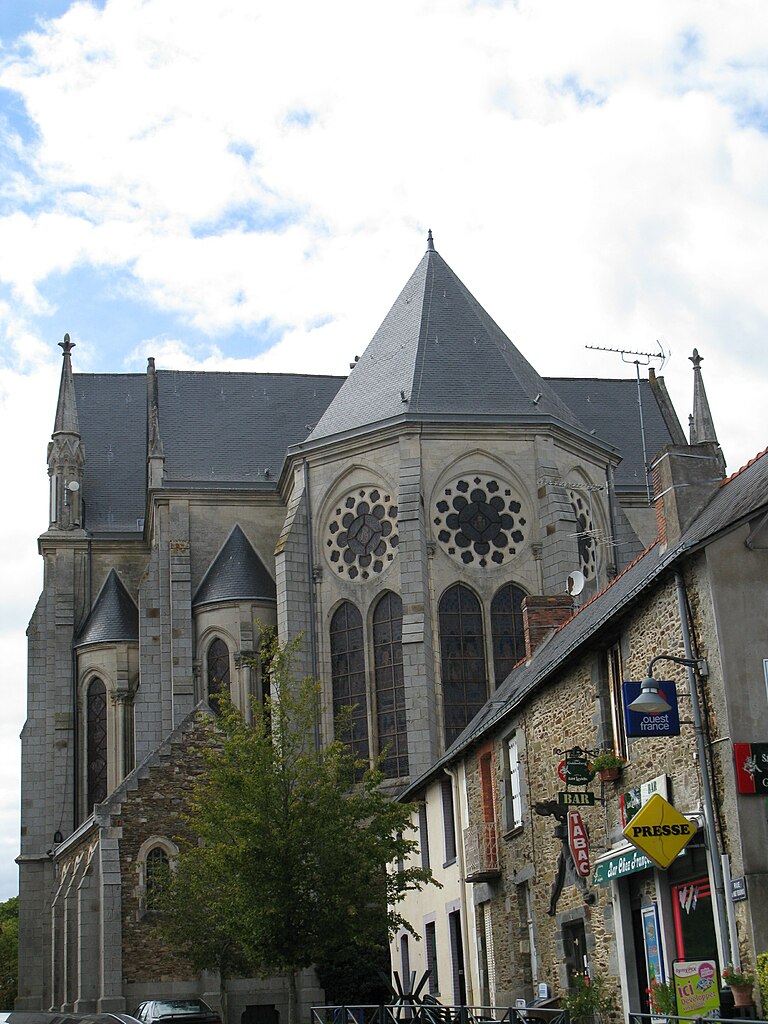
Ruffigné (Ruffigné)

- commune in Loire-Atlantique, France
- Country:

- Postal Code: 44660
- Coordinates: 47° 45' 25" N, 1° 29' 37" E


- GPS tracks (wikiloc): [Link]
- Area: 33.63 sq km
- Population: 714
- Web site: http://www.cc-castelbriantais.fr/communaute-de-communes/ruffigne/
- Wikipedia en: wiki(en)
- Wikipedia: wiki(fr)
- Wikidata storage: Wikidata: Q1065256
- Wikipedia Commons Category: [Link]
- Freebase ID: [/m/03nwc33]
- Freebase ID: [/m/03nwc33]
- GeoNames ID: Alt: [2982204]
- GeoNames ID: Alt: [2982204]
- SIREN number: [214401481]
- SIREN number: [214401481]
- BnF ID: [152603170]
- BnF ID: [152603170]
- INSEE municipality code: 44148
- INSEE municipality code: 44148
Shares border with regions:

Rougé
- commune in Loire-Atlantique, France
- Country:
- Postal Code: 44660
- Coordinates: 47° 46' 58" N, 1° 26' 54" E
- GPS tracks (wikiloc): [Link]
- Area: 56.32 sq km
- Population: 2247
- Web site: [Link]


Saint-Sulpice-des-Landes
- commune in Ille-et-Vilaine, France
- Country:
- Postal Code: 35390
- Coordinates: 47° 46' 0" N, 1° 37' 23" E
- GPS tracks (wikiloc): [Link]
- AboveSeaLevel: 45 м m
- Area: 11.19 sq km
- Population: 792


Saint-Aubin-des-Châteaux
- commune in Loire-Atlantique, France
- Country:
- Postal Code: 44110
- Coordinates: 47° 43' 12" N, 1° 29' 11" E
- GPS tracks (wikiloc): [Link]
- Area: 47.56 sq km
- Population: 1765
- Web site: [Link]


Teillay
- commune in Ille-et-Vilaine, France
- Country:
- Postal Code: 35620
- Coordinates: 47° 48' 26" N, 1° 32' 19" E
- GPS tracks (wikiloc): [Link]
- Area: 26.21 sq km
- Population: 1072
- Web site: [Link]

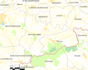
Ercé-en-Lamée
- commune in Ille-et-Vilaine, France
- Country:
- Postal Code: 35620
- Coordinates: 47° 49' 49" N, 1° 33' 33" E
- GPS tracks (wikiloc): [Link]
- Area: 39.21 sq km
- Population: 1504
- Web site: [Link]


Sion-les-Mines
- commune in Loire-Atlantique, France
- Country:
- Postal Code: 44590
- Coordinates: 47° 44' 6" N, 1° 35' 31" E
- GPS tracks (wikiloc): [Link]
- Area: 54.71 sq km
- Population: 1612
- Web site: [Link]