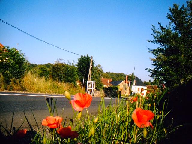
Rudelle (Rudelle)

- commune in Lot, France
- Country:

- Postal Code: 46120
- Coordinates: 44° 43' 22" N, 1° 52' 44" E


- GPS tracks (wikiloc): [Link]
- Area: 6.83 sq km
- Population: 166
- Wikipedia en: wiki(en)
- Wikipedia: wiki(fr)
- Wikidata storage: Wikidata: Q1322522
- Wikipedia Commons Category: [Link]
- Freebase ID: [/m/03nwnyz]
- GeoNames ID: Alt: [6434872]
- SIREN number: [214602427]
- BnF ID: [15260983f]
- INSEE municipality code: 46242
Shares border with regions:

Le Bourg
- commune in Lot, France
- Country:
- Postal Code: 46120
- Coordinates: 44° 42' 34" N, 1° 54' 12" E
- GPS tracks (wikiloc): [Link]
- Area: 13.15 sq km
- Population: 320


Rueyres
- commune in Lot, France
- Country:
- Postal Code: 46120
- Coordinates: 44° 44' 53" N, 1° 50' 47" E
- GPS tracks (wikiloc): [Link]
- AboveSeaLevel: 321 м m
- Area: 9.31 sq km
- Population: 203


Sonac
- commune in Lot, France
- Country:
- Postal Code: 46320
- Coordinates: 44° 41' 47" N, 1° 51' 35" E
- GPS tracks (wikiloc): [Link]
- Area: 7.34 sq km
- Population: 83


Anglars
- commune in Lot, France
- Country:
- Postal Code: 46120
- Coordinates: 44° 44' 23" N, 1° 54' 20" E
- GPS tracks (wikiloc): [Link]
- Area: 9.99 sq km
- Population: 211
Théminettes
- commune in Lot, France
- Country:
- Postal Code: 46120
- Coordinates: 44° 42' 47" N, 1° 51' 9" E
- GPS tracks (wikiloc): [Link]
- Area: 8.71 sq km
- Population: 168