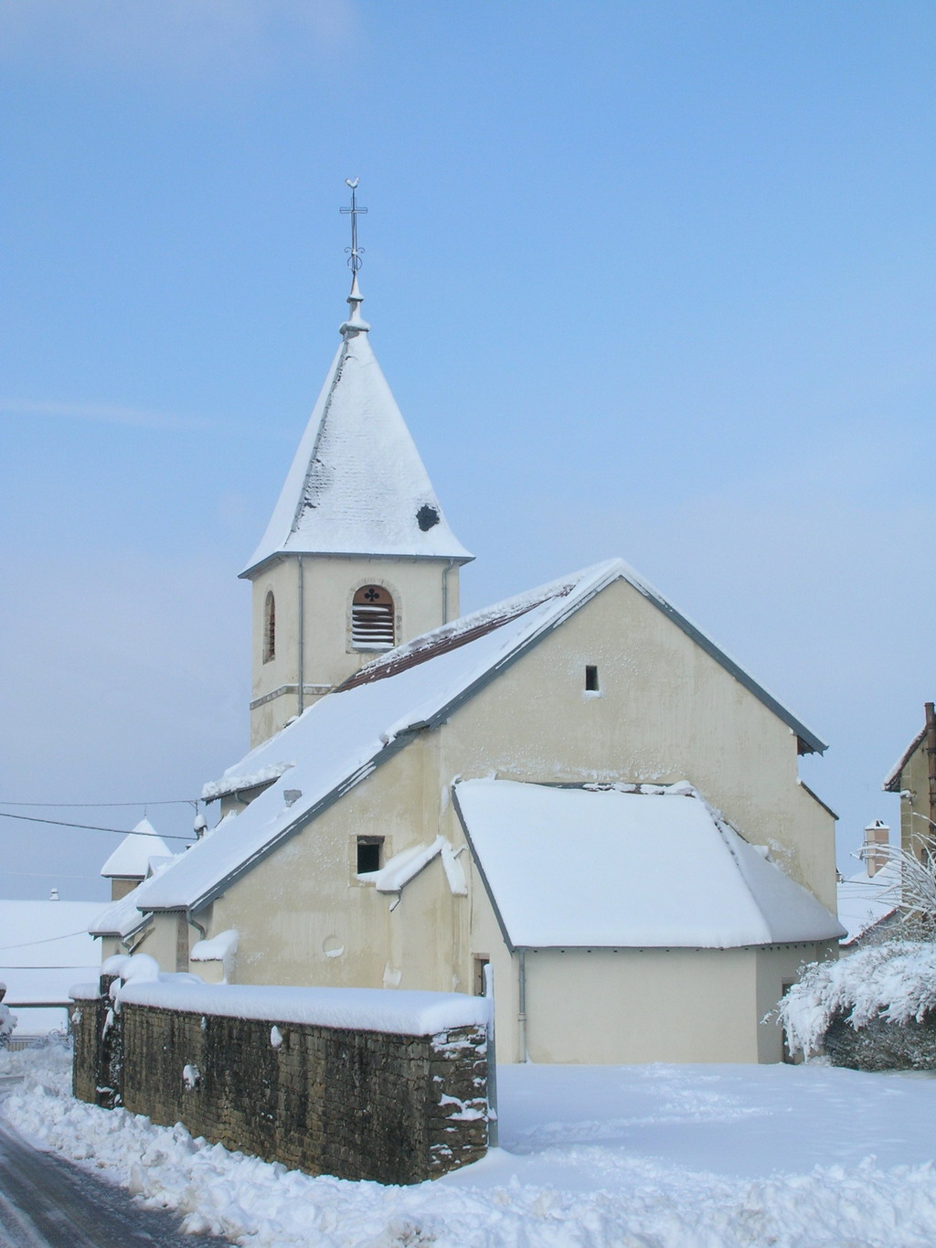
Ruffey-le-Château (Ruffey-le-Château)

- commune in Doubs, France
 Hiking in Ruffey-le-Château
Ruffey-le-Château, located in the Bourgogne-Franche-Comté region of eastern France, offers a charming setting for hiking enthusiasts. The area is characterized by a combination of gentle hills, forests, and agricultural landscapes that provide a diverse range of hiking routes suitable for different skill levels.
Hiking Areas and Routes:
-
Nature Trails: There are several marked nature trails around Ruffey-le-Château that allow hikers to explore the local flora and fauna. These trails often wind through forests and along scenic paths.
-
Nearby Vineyards: Since the region is known for its wine production, you might enjoy hikes that take you through picturesque vineyards. This offers a unique opportunity to combine hiking with local culture and possibly wine tasting.
-
Adjacent Parks: The area surrounding Ruffey-le-Château, including nearby natural parks, provides additional hiking opportunities. Look for routes that lead to viewpoints offering panoramic views of the countryside.
Tips for Hiking in Ruffey-le-Château:
- Weather Check: Always check the weather forecast before heading out, as conditions can change, especially in mountainous or hilly areas.
- Proper Gear: Wear comfortable hiking footwear, and consider bringing trekking poles for steeper areas. Layer your clothing to adjust to changing temperatures.
- Water and Snacks: Stay hydrated and bring some snacks, as some trails may not have facilities nearby.
- Local Guides: If you're unfamiliar with the area, consider hiring a local guide who can provide insights into the best trails and local geology, flora, and fauna.
Safety:
- Always inform someone of your hiking plans and estimated return time.
- Carry a map or GPS device, as cell service can be limited in deeper forested areas.
- Stay on marked trails to protect the ecosystem and ensure your safety.
Ruffey-le-Château may not be widely known in guides, but it provides a beautiful rural setting for a peaceful hike away from the more crowded tourist spots. Enjoy your outdoor adventure!
- Country:

- Postal Code: 25170
- Coordinates: 47° 17' 15" N, 5° 47' 54" E


- GPS tracks (wikiloc): [Link]
- Area: 7.25 sq km
- Population: 358
- Wikipedia en: wiki(en)
- Wikipedia: wiki(fr)
- Wikidata storage: Wikidata: Q905064
- Wikipedia Commons Category: [Link]
- Freebase ID: [/m/03mhcj_]
- Freebase ID: [/m/03mhcj_]
- SIREN number: [212505101]
- SIREN number: [212505101]
- BnF ID: [15252736n]
- BnF ID: [15252736n]
- INSEE municipality code: 25510
- INSEE municipality code: 25510
Shares border with regions:


Brussey
- commune in Haute-Saône, France
- Country:
- Postal Code: 70150
- Coordinates: 47° 18' 1" N, 5° 48' 37" E
- GPS tracks (wikiloc): [Link]
- Area: 7.27 sq km
- Population: 276


Recologne
- commune in Doubs, France
Hiking in Recologne
Recologne is a charming commune located in the Doubs department in the Bourgogne-Franche-Comté region of eastern France. This area is known for its natural beauty, rolling hills, and forests, making it an excellent place for hiking enthusiasts....
- Country:
- Postal Code: 25170
- Coordinates: 47° 16' 23" N, 5° 49' 48" E
- GPS tracks (wikiloc): [Link]
- Area: 6.78 sq km
- Population: 646


Chevigney-sur-l'Ognon
- commune in Doubs, France
Hiking in Chevigney-sur-l'Ognon
Chevigney-sur-l'Ognon, located in the Bourgogne-Franche-Comté region of eastern France, offers a tranquil setting for hiking enthusiasts. The area is characterized by its lush landscapes, rolling hills, and proximity to the Ognon River, making it an excellent destination for both casual walkers and experienced hikers....
- Country:
- Postal Code: 25170
- Coordinates: 47° 17' 52" N, 5° 50' 18" E
- GPS tracks (wikiloc): [Link]
- Area: 4.58 sq km
- Population: 280


Marnay
- commune in Haute-Saône, France
- Country:
- Postal Code: 70150
- Coordinates: 47° 17' 23" N, 5° 46' 18" E
- GPS tracks (wikiloc): [Link]
- Area: 10.37 sq km
- Population: 1464
- Web site: [Link]


Franey
- commune in Doubs, France
Hiking in Franey
Franey, located in the Cape Breton Highlands National Park of Nova Scotia, is known for its stunning views and diverse terrain. The Franey Trail is a popular hiking destination for both novice and experienced hikers. Here are some key details about hiking in Franey:...
- Country:
- Postal Code: 25170
- Coordinates: 47° 15' 42" N, 5° 49' 4" E
- GPS tracks (wikiloc): [Link]
- Area: 3.38 sq km
- Population: 283

Burgille
- commune in Doubs, France
Hiking in Burgille
Burgille might not be a widely recognized hiking destination, so if you’re referring to a specific region or local area that might have hiking opportunities, please clarify the location....
- Country:
- Postal Code: 25170
- Coordinates: 47° 16' 4" N, 5° 46' 31" E
- GPS tracks (wikiloc): [Link]
- Area: 9.28 sq km
- Population: 548