Sahorre (Sahorre)

- commune in Pyrénées-Orientales, France
- Country:

- Postal Code: 66360
- Coordinates: 42° 31' 57" N, 2° 21' 43" E


- GPS tracks (wikiloc): [Link]
- Area: 14.88 sq km
- Population: 374
- Web site: http://mairie.sahorre.free.fr
- Wikipedia en: wiki(en)
- Wikipedia: wiki(fr)
- Wikidata storage: Wikidata: Q1350593
- Wikipedia Commons Category: [Link]
- Freebase ID: [/m/03h3v3s]
- Freebase ID: [/m/03h3v3s]
- GeoNames ID: Alt: [6441019]
- GeoNames ID: Alt: [6441019]
- SIREN number: [216601666]
- SIREN number: [216601666]
- BnF ID: [15271075s]
- BnF ID: [15271075s]
- OSM relation ID: [2913485]
- OSM relation ID: [2913485]
- WOEID: [620604]
- WOEID: [620604]
- Gran Enciclopèdia Catalana ID: [0060874]
- Gran Enciclopèdia Catalana ID: [0060874]
- INSEE municipality code: 66166
- INSEE municipality code: 66166
Shares border with regions:


Py
- commune in Pyrénées-Orientales, France
- Country:
- Postal Code: 66360
- Coordinates: 42° 29' 45" N, 2° 21' 3" E
- GPS tracks (wikiloc): [Link]
- Area: 50.86 sq km
- Population: 92
- Web site: [Link]
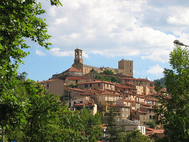

Vernet-les-Bains
- commune in Pyrénées-Orientales, France
- Country:
- Postal Code: 66820
- Coordinates: 42° 32' 56" N, 2° 23' 16" E
- GPS tracks (wikiloc): [Link]
- Area: 16.76 sq km
- Population: 1352

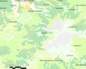
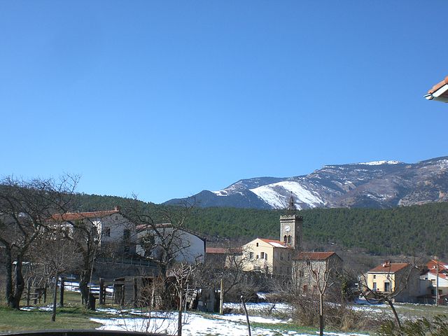
Casteil
- commune in Pyrénées-Orientales, France
- Country:
- Postal Code: 66820
- Coordinates: 42° 31' 51" N, 2° 23' 36" E
- GPS tracks (wikiloc): [Link]
- Area: 29.83 sq km
- Population: 132
- Web site: [Link]

Fuilla
- commune in Pyrénées-Orientales, France
- Country:
- Postal Code: 66820
- Coordinates: 42° 33' 43" N, 2° 21' 46" E
- GPS tracks (wikiloc): [Link]
- Area: 9.69 sq km
- Population: 450
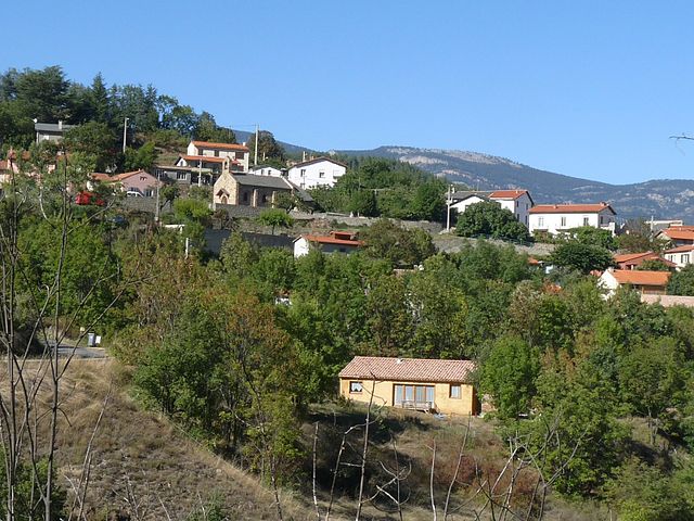

Escaro
- commune in Pyrénées-Orientales, France
- Country:
- Postal Code: 66360
- Coordinates: 42° 32' 16" N, 2° 18' 55" E
- GPS tracks (wikiloc): [Link]
- Area: 15.21 sq km
- Population: 114