Saignes (Saignes)

- commune in Lot, France
- Country:

- Postal Code: 46500
- Coordinates: 44° 47' 16" N, 1° 48' 59" E


- GPS tracks (wikiloc): [Link]
- Area: 3.55 sq km
- Population: 79
- Wikipedia en: wiki(en)
- Wikipedia: wiki(fr)
- Wikidata storage: Wikidata: Q1377335
- Wikipedia Commons Category: [Link]
- Freebase ID: [/m/03qdf7q]
- GeoNames ID: Alt: [6434875]
- SIREN number: [214602468]
- BnF ID: [15260987t]
- INSEE municipality code: 46246
Shares border with regions:
Mayrinhac-Lentour
- commune in Lot, France
- Country:
- Postal Code: 46500
- Coordinates: 44° 48' 49" N, 1° 48' 26" E
- GPS tracks (wikiloc): [Link]
- Area: 15.57 sq km
- Population: 506


Albiac
- commune in Lot, France
- Country:
- Postal Code: 46500
- Coordinates: 44° 45' 58" N, 1° 48' 40" E
- GPS tracks (wikiloc): [Link]
- Area: 3.83 sq km
- Population: 79
- Web site: [Link]

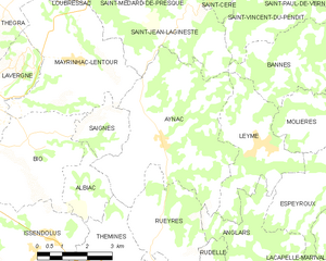
Aynac
- commune in Lot, France
- Country:
- Postal Code: 46120
- Coordinates: 44° 47' 5" N, 1° 51' 4" E
- GPS tracks (wikiloc): [Link]
- Area: 21.55 sq km
- Population: 562
- Web site: [Link]


Bio
- commune in Lot, France
- Country:
- Postal Code: 46500
- Coordinates: 44° 46' 58" N, 1° 47' 5" E
- GPS tracks (wikiloc): [Link]
- Area: 10.79 sq km
- Population: 357