Sailaufer Forst (Sailaufer Forst)

- unincorporated area in Germany
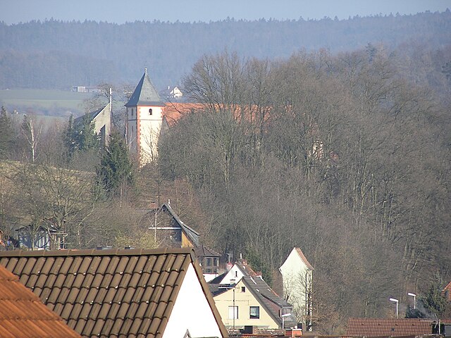
 Hiking in Sailaufer Forst
Sailaufer Forst is a beautiful forest area that provides a wonderful environment for hiking and nature exploration. If you're planning to hike there, here are some key points to consider:
-
Trails: Sailaufer Forst offers a variety of trails that cater to different skill levels, from easy strolls suitable for families to more challenging paths for experienced hikers. Always check local maps or resources for trail difficulty and lengths.
-
Scenery: The forest is known for its diverse flora and fauna, as well as its picturesque landscapes. Depending on the season, you might encounter blooming flowers in spring, lush greenery in summer, vibrant autumn colors, or tranquil winter scenes.
-
Wildlife: Keep an eye out for local wildlife, including birds, deer, and other animals. Early morning or late afternoon is often the best time for wildlife watching.
-
Safety: As with any hiking trip, ensure you are prepared with the right gear, sufficient water, food, and navigation tools. It's wise to check the weather forecast before heading out and inform someone of your hiking plans.
-
Leave No Trace: Respect the environment by following Leave No Trace principles. This includes packing out everything you bring in and staying on designated trails to protect the natural habitat.
-
Local Regulations: Before you set out, familiarize yourself with any local regulations or guidelines. Some areas may have restrictions on campfires, pets, or specific trail access.
-
Nearby Attractions: Consider exploring nearby attractions or connecting trails for a more extended hiking experience. This can enrich your visit to Sailaufer Forst.
Overall, hiking in Sailaufer Forst can be a rewarding experience, offering an array of natural beauty and opportunities for outdoor adventure. Enjoy your hike!
- Country:

- Coordinates: 50° 2' 30" N, 9° 17' 58" E


- GPS tracks (wikiloc): [Link]
- Wikidata storage: Wikidata: Q964645
- Wikipedia Commons Category: [Link]
- OSM relation ID: [534768]
Shares border with regions:

Sailauf
- municipality of Germany
Hiking in Sailauf
Sailauf, located in the Bavarian region of Germany, offers beautiful hiking opportunities amidst picturesque landscapes. Nestled near the Spessart Forest, the area features a mix of lush woodlands, rolling hills, and scenic views. Here are a few highlights and tips for hiking in Sailauf:...
- Country:
- Postal Code: 63877
- Local Dialing Code: 06093; 06024
- Licence Plate Code: AB
- Coordinates: 50° 1' 0" N, 9° 15' 0" E
- GPS tracks (wikiloc): [Link]
- AboveSeaLevel: 178 м m
- Area: 13.82 sq km
- Population: 3205
- Web site: [Link]


Laufach
- municipality of Germany
Hiking in Laufach
Laufach, located in Bavaria, Germany, is a charming town that offers a wonderful opportunity for hiking enthusiasts. Surrounded by beautiful landscapes, lush forests, and scenic views, there are several trails and paths suitable for various skill levels....
- Country:
- Postal Code: 63846
- Local Dialing Code: 06093
- Licence Plate Code: AB
- Coordinates: 50° 1' 0" N, 9° 18' 0" E
- GPS tracks (wikiloc): [Link]
- AboveSeaLevel: 180 м m
- Area: 15.60 sq km
- Population: 5176
- Web site: [Link]


Schöllkrippener Forst
- unincorporated area in Germany
Hiking in Schöllkrippener Forst
Schöllkrippener Forst, located in Bavaria, Germany, is a beautiful natural area ideal for hiking enthusiasts. This forested region offers a variety of trails that cater to different skill levels, making it an excellent destination for both novice and experienced hikers. Here are some key points to know about hiking in Schöllkrippener Forst:...
- Country:
- Coordinates: 50° 5' 30" N, 9° 17' 59" E
- GPS tracks (wikiloc): [Link]