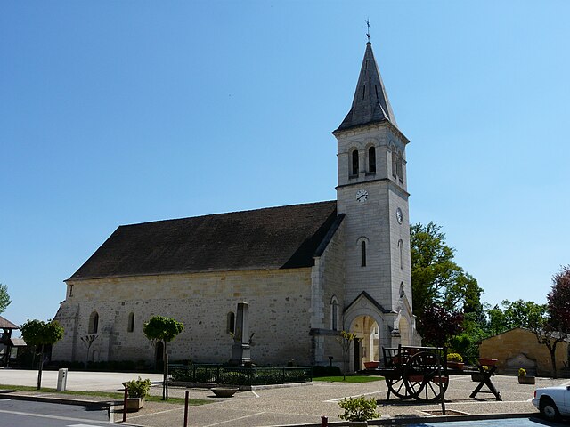
Saint-Antoine-sur-l'Isle (Saint-Antoine-sur-l'Isle)

- commune in Gironde, France
- Country:

- Postal Code: 33660
- Coordinates: 45° 1' 37" N, 0° 2' 17" E


- GPS tracks (wikiloc): [Link]
- Area: 10.4 sq km
- Population: 578
- Web site: http://www.stantoinesurlisle.fr
- Wikipedia en: wiki(en)
- Wikipedia: wiki(fr)
- Wikidata storage: Wikidata: Q717634
- Wikipedia Commons Category: [Link]
- Freebase ID: [/m/03ns0sb]
- SIREN number: [213303738]
- BnF ID: [152564223]
- INSEE municipality code: 33373
Shares border with regions:


Saint-Seurin-sur-l'Isle
- commune in Gironde, France
- Country:
- Postal Code: 33660
- Coordinates: 45° 0' 51" N, 0° 0' 6" E
- GPS tracks (wikiloc): [Link]
- AboveSeaLevel: 22 м m
- Area: 8.83 sq km
- Population: 3163

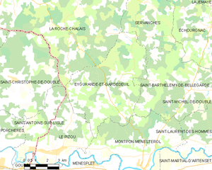
Eygurande-et-Gardedeuil
- commune in Dordogne, France
- Country:
- Postal Code: 24700
- Coordinates: 45° 4' 1" N, 0° 7' 17" E
- GPS tracks (wikiloc): [Link]
- Area: 35.62 sq km
- Population: 398
- Web site: [Link]

Le Pizou
- commune in Dordogne, France
- Country:
- Postal Code: 24700
- Coordinates: 45° 1' 30" N, 0° 3' 44" E
- GPS tracks (wikiloc): [Link]
- Area: 17.02 sq km
- Population: 1312
- Web site: [Link]


La Roche-Chalais
- commune in Dordogne, France
- Country:
- Postal Code: 24490
- Coordinates: 45° 9' 6" N, 0° 0' 32" E
- GPS tracks (wikiloc): [Link]
- Area: 89.4 sq km
- Population: 2970


Gours
- commune in Gironde, France
- Country:
- Postal Code: 33660
- Coordinates: 44° 59' 37" N, 0° 1' 21" E
- GPS tracks (wikiloc): [Link]
- Area: 7.89 sq km
- Population: 538
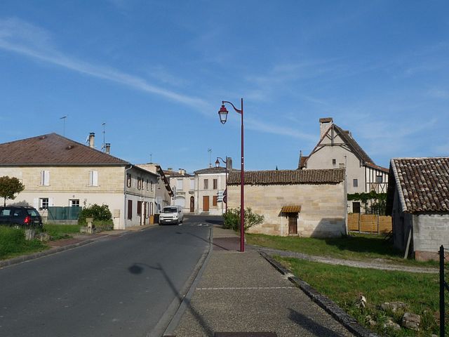

Saint-Christophe-de-Double
- commune in Gironde, France
- Country:
- Postal Code: 33230
- Coordinates: 45° 4' 50" N, 0° 0' 57" E
- GPS tracks (wikiloc): [Link]
- AboveSeaLevel: 89 м m
- Area: 36.13 sq km
- Population: 719
- Web site: [Link]


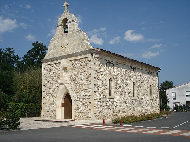
Porchères
- commune in Gironde, France
- Country:
- Postal Code: 33660
- Coordinates: 45° 1' 46" N, 0° 0' 37" E
- GPS tracks (wikiloc): [Link]
- Area: 13.19 sq km
- Population: 911
- Web site: [Link]
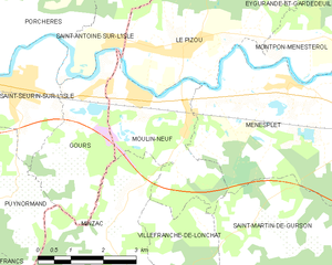
Moulin-Neuf
- commune in Dordogne, France
- Country:
- Postal Code: 24700
- Coordinates: 45° 0' 39" N, 0° 3' 3" E
- GPS tracks (wikiloc): [Link]
- Area: 8.62 sq km
- Population: 908