Saint-Aubin-des-Bois (Saint-Aubin-des-Bois)

- commune in Calvados, France
- Country:

- Postal Code: 14380
- Coordinates: 48° 49' 45" N, 1° 7' 43" E


- GPS tracks (wikiloc): [Link]
- Area: 8.26 sq km
- Population: 234
- Wikipedia en: wiki(en)
- Wikipedia: wiki(fr)
- Wikidata storage: Wikidata: Q371540
- Wikipedia Commons Category: [Link]
- Freebase ID: [/m/032z94]
- GeoNames ID: Alt: [6614729]
- SIREN number: [211405592]
- BnF ID: [152479695]
- INSEE municipality code: 14559
Shares border with regions:


Beslon
- commune in Manche, France
- Country:
- Postal Code: 50800
- Coordinates: 48° 50' 56" N, 1° 9' 5" E
- GPS tracks (wikiloc): [Link]
- Area: 17.24 sq km
- Population: 561


Boisyvon
- commune in Manche, France
- Country:
- Postal Code: 50800
- Coordinates: 48° 48' 20" N, 1° 7' 44" E
- GPS tracks (wikiloc): [Link]
- Area: 3.85 sq km
- Population: 110
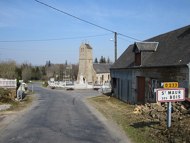
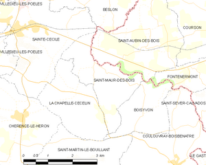
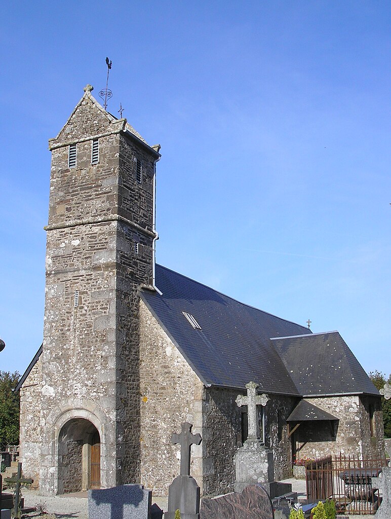
Saint-Maur-des-Bois
- commune in Manche, France
- Country:
- Postal Code: 50800
- Coordinates: 48° 49' 20" N, 1° 9' 27" E
- GPS tracks (wikiloc): [Link]
- Area: 4.97 sq km
- Population: 148


Sainte-Cécile
- commune in Manche, France
- Country:
- Postal Code: 50800
- Coordinates: 48° 50' 8" N, 1° 11' 22" E
- GPS tracks (wikiloc): [Link]
- Area: 11.29 sq km
- Population: 829

Fontenermont
- former commune in Calvados, France
- Country:
- Postal Code: 14380
- Coordinates: 48° 49' 25" N, 1° 6' 15" E
- GPS tracks (wikiloc): [Link]
- Area: 2.79 sq km
- Population: 143

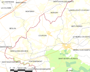
Courson
- former commune in Calvados, France
- Country:
- Postal Code: 14380
- Coordinates: 48° 51' 14" N, 1° 4' 52" E
- GPS tracks (wikiloc): [Link]
- Area: 16.7 sq km
- Population: 425