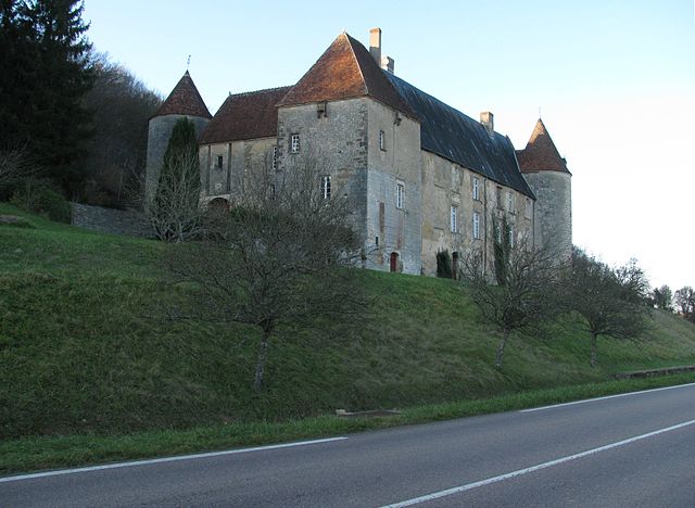
Saint-Bonnot (Saint-Bonnot)

- commune in Nièvre, France
- Country:

- Postal Code: 58700
- Coordinates: 47° 14' 37" N, 3° 18' 51" E


- GPS tracks (wikiloc): [Link]
- Area: 16.14 sq km
- Population: 125
- Wikipedia en: wiki(en)
- Wikipedia: wiki(fr)
- Wikidata storage: Wikidata: Q41817
- Wikipedia Commons Category: [Link]
- Freebase ID: [/m/03qffdw]
- GeoNames ID: Alt: [6438067]
- SIREN number: [215802349]
- BnF ID: [15266499w]
- INSEE municipality code: 58234
Shares border with regions:


Dompierre-sur-Nièvre
- commune in Nièvre, France
- Country:
- Postal Code: 58350
- Coordinates: 47° 14' 18" N, 3° 15' 6" E
- GPS tracks (wikiloc): [Link]
- Area: 18.6 sq km
- Population: 200

Giry
- commune in Nièvre, France
- Country:
- Postal Code: 58700
- Coordinates: 47° 13' 14" N, 3° 21' 53" E
- GPS tracks (wikiloc): [Link]
- Area: 23.78 sq km
- Population: 204


Champlemy
- commune in Nièvre, France
- Country:
- Postal Code: 58210
- Coordinates: 47° 17' 9" N, 3° 21' 4" E
- GPS tracks (wikiloc): [Link]
- Area: 36.82 sq km
- Population: 336


Arzembouy
- commune in Nièvre, France
- Country:
- Postal Code: 58700
- Coordinates: 47° 14' 43" N, 3° 22' 4" E
- GPS tracks (wikiloc): [Link]
- Area: 12.85 sq km
- Population: 69
- Web site: [Link]