.jpg)
Saint-Céré (Saint-Céré)

- commune in Lot, France
- Country:

- Postal Code: 46400
- Coordinates: 44° 51' 33" N, 1° 53' 28" E


- GPS tracks (wikiloc): [Link]
- Area: 11.33 sq km
- Population: 3476
- Web site: http://www.saint-cere.fr
- Wikipedia en: wiki(en)
- Wikipedia: wiki(fr)
- Wikidata storage: Wikidata: Q637612
- Wikipedia Commons Category: [Link]
- Freebase ID: [/m/03nwkgm]
- GeoNames ID: Alt: [2981228]
- SIREN number: [214602518]
- BnF ID: [15260992d]
- VIAF ID: Alt: [170221470]
- Library of Congress authority ID: Alt: [n82111766]
- PACTOLS thesaurus ID: [pcrtNyYYD2ua6B]
- INSEE municipality code: 46251
Shares border with regions:
Belmont-Bretenoux
- commune in Lot, France
- Country:
- Postal Code: 46130
- Coordinates: 44° 53' 24" N, 1° 52' 47" E
- GPS tracks (wikiloc): [Link]
- Area: 6.65 sq km
- Population: 389


Saint-Paul-de-Vern
- commune in Lot, France
- Country:
- Postal Code: 46400
- Coordinates: 44° 50' 20" N, 1° 56' 14" E
- GPS tracks (wikiloc): [Link]
- Area: 10.84 sq km
- Population: 183
Saint-Vincent-du-Pendit
- commune in Lot, France
- Country:
- Postal Code: 46400
- Coordinates: 44° 50' 19" N, 1° 54' 7" E
- GPS tracks (wikiloc): [Link]
- Area: 9.24 sq km
- Population: 184
Frayssinhes
- commune in Lot, France
- Country:
- Postal Code: 46400
- Coordinates: 44° 52' 41" N, 1° 56' 21" E
- GPS tracks (wikiloc): [Link]
- Area: 12.15 sq km
- Population: 170


Saint-Jean-Lespinasse
- commune in Lot, France
- Country:
- Postal Code: 46400
- Coordinates: 44° 51' 46" N, 1° 51' 39" E
- GPS tracks (wikiloc): [Link]
- Area: 5.99 sq km
- Population: 391
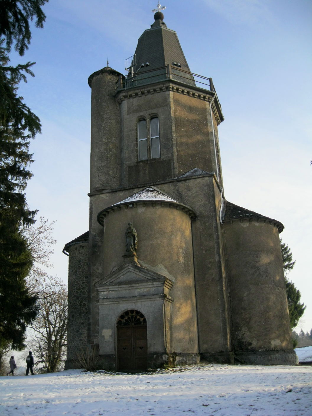
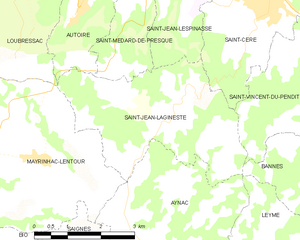
Saint-Jean-Lagineste
- commune in Lot, France
- Country:
- Postal Code: 46400
- Coordinates: 44° 49' 24" N, 1° 51' 39" E
- GPS tracks (wikiloc): [Link]
- AboveSeaLevel: 480 м m
- Area: 12.66 sq km
- Population: 318
- Web site: [Link]
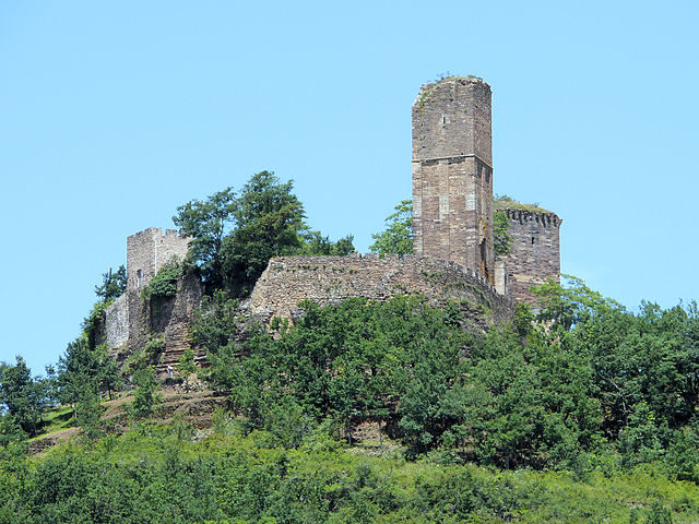

Saint-Laurent-les-Tours
- commune in Lot, France
- Country:
- Postal Code: 46400
- Coordinates: 44° 52' 7" N, 1° 53' 40" E
- GPS tracks (wikiloc): [Link]
- Area: 10.84 sq km
- Population: 912
- Web site: [Link]