Saint-Clair-sur-Epte (Saint-Clair-sur-Epte)

- commune in Val-d'Oise, France
- Country:

- Postal Code: 95770
- Coordinates: 49° 12' 27" N, 1° 40' 46" E


- GPS tracks (wikiloc): [Link]
- Area: 12.18 sq km
- Population: 984
- Web site: http://www.saint-clair-sur-epte.fr/
- Wikipedia en: wiki(en)
- Wikipedia: wiki(fr)
- Wikidata storage: Wikidata: Q752225
- Wikipedia Commons Category: [Link]
- Freebase ID: [/m/03qlmkp]
- Freebase ID: [/m/03qlmkp]
- GeoNames ID: Alt: [2981084]
- GeoNames ID: Alt: [2981084]
- SIREN number: [219505419]
- SIREN number: [219505419]
- BnF ID: [14647020w]
- BnF ID: [14647020w]
- VIAF ID: Alt: [148107458]
- VIAF ID: Alt: [148107458]
- GND ID: Alt: [4268815-2]
- GND ID: Alt: [4268815-2]
- Library of Congress authority ID: Alt: [n80125683]
- Library of Congress authority ID: Alt: [n80125683]
- PACTOLS thesaurus ID: [pcrtqJn5wGWfgw]
- PACTOLS thesaurus ID: [pcrtqJn5wGWfgw]
- SUDOC authorities ID: [057110662]
- SUDOC authorities ID: [057110662]
- INSEE municipality code: 95541
- INSEE municipality code: 95541
Shares border with regions:


Château-sur-Epte
- commune in Eure, France
- Country:
- Postal Code: 27420
- Coordinates: 49° 12' 29" N, 1° 40' 5" E
- GPS tracks (wikiloc): [Link]
- Area: 4.6 sq km
- Population: 600


Guerny
- commune in Eure, France
- Country:
- Postal Code: 27720
- Coordinates: 49° 13' 18" N, 1° 40' 44" E
- GPS tracks (wikiloc): [Link]
- Area: 6.03 sq km
- Population: 174

Boury-en-Vexin
- commune in Oise, France
- Country:
- Postal Code: 60240
- Coordinates: 49° 14' 27" N, 1° 44' 10" E
- GPS tracks (wikiloc): [Link]
- Area: 11.09 sq km
- Population: 338


Montreuil-sur-Epte
- commune in Val-d'Oise, France
- Country:
- Postal Code: 95770
- Coordinates: 49° 10' 35" N, 1° 40' 42" E
- GPS tracks (wikiloc): [Link]
- Area: 7.15 sq km
- Population: 427
- Web site: [Link]

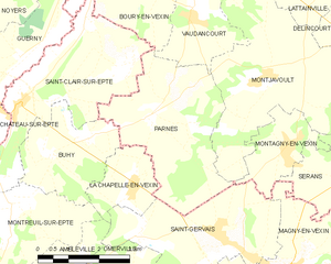
Parnes
- commune in Oise, France
- Country:
- Postal Code: 60240
- Coordinates: 49° 12' 12" N, 1° 44' 16" E
- GPS tracks (wikiloc): [Link]
- Area: 12.43 sq km
- Population: 350
- Web site: [Link]


Berthenonville
- former commune in Eure, France
- Country:
- Postal Code: 27630
- Coordinates: 49° 10' 59" N, 1° 39' 41" E
- GPS tracks (wikiloc): [Link]
- Area: 5.92 sq km
- Population: 254


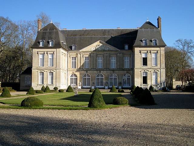
Buhy
- commune in Val-d'Oise, France
- Country:
- Postal Code: 95770
- Coordinates: 49° 11' 35" N, 1° 41' 28" E
- GPS tracks (wikiloc): [Link]
- Area: 6.86 sq km
- Population: 322
- Web site: [Link]