Saint-Cyr-du-Bailleul (Saint-Cyr-du-Bailleul)

- commune in Manche, France
- Country:

- Postal Code: 50720
- Coordinates: 48° 33' 57" N, 0° 48' 0" E


- GPS tracks (wikiloc): [Link]
- Area: 23.41 sq km
- Population: 393
- Wikipedia en: wiki(en)
- Wikipedia: wiki(fr)
- Wikidata storage: Wikidata: Q1103086
- Wikipedia Commons Category: [Link]
- Freebase ID: [/m/03nxbn8]
- Freebase ID: [/m/03nxbn8]
- GeoNames ID: Alt: [6435575]
- GeoNames ID: Alt: [6435575]
- SIREN number: [215004623]
- SIREN number: [215004623]
- BnF ID: [15262435p]
- BnF ID: [15262435p]
- INSEE municipality code: 50462
- INSEE municipality code: 50462
Shares border with regions:


Barenton
- commune in Manche, France
- Country:
- Postal Code: 50720
- Coordinates: 48° 35' 57" N, 0° 49' 55" E
- GPS tracks (wikiloc): [Link]
- Area: 34.88 sq km
- Population: 1190
- Web site: [Link]


Husson
- former commune in Manche, France
- Country:
- Postal Code: 50640
- Coordinates: 48° 34' 12" N, 0° 53' 33" E
- GPS tracks (wikiloc): [Link]
- Area: 13.59 sq km
- Population: 182
Saint-Mars-d'Égrenne
- commune in Orne, France
- Country:
- Postal Code: 61350
- Coordinates: 48° 33' 37" N, 0° 43' 47" E
- GPS tracks (wikiloc): [Link]
- Area: 25.06 sq km
- Population: 677


Mantilly
- commune in Orne, France
- Country:
- Postal Code: 61350
- Coordinates: 48° 31' 15" N, 0° 48' 4" E
- GPS tracks (wikiloc): [Link]
- Area: 28.7 sq km
- Population: 538


Le Teilleul
- commune in Manche, France
- Country:
- Postal Code: 50640
- Coordinates: 48° 32' 18" N, 0° 52' 24" E
- GPS tracks (wikiloc): [Link]
- Area: 30.45 sq km
- Population: 1220

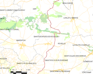
Saint-Georges-de-Rouelley
- commune in Manche, France
- Country:
- Postal Code: 50720
- Coordinates: 48° 36' 13" N, 0° 46' 6" E
- GPS tracks (wikiloc): [Link]
- Area: 20.52 sq km
- Population: 562
- Web site: [Link]