Le Teilleul (Le Teilleul)

- commune in Manche, France
- Country:

- Postal Code: 50640
- Coordinates: 48° 32' 18" N, 0° 52' 24" E


- GPS tracks (wikiloc): [Link]
- Area: 30.45 sq km
- Population: 1220
- Wikipedia en: wiki(en)
- Wikipedia: wiki(fr)
- Wikidata storage: Wikidata: Q635135
- Wikipedia Commons Category: [Link]
- Freebase ID: [/m/03nxc66]
- Freebase ID: [/m/03nxc66]
- GeoNames ID: Alt: [2999251]
- GeoNames ID: Alt: [2999251]
- BnF ID: [152625605]
- BnF ID: [152625605]
- OSM relation ID: [538366]
- OSM relation ID: [538366]
- INSEE municipality code: 50591
- INSEE municipality code: 50591
Shares border with regions:


Barenton
- commune in Manche, France
- Country:
- Postal Code: 50720
- Coordinates: 48° 35' 57" N, 0° 49' 55" E
- GPS tracks (wikiloc): [Link]
- Area: 34.88 sq km
- Population: 1190
- Web site: [Link]


Husson
- former commune in Manche, France
- Country:
- Postal Code: 50640
- Coordinates: 48° 34' 12" N, 0° 53' 33" E
- GPS tracks (wikiloc): [Link]
- Area: 13.59 sq km
- Population: 182


Ferrières
- former commune in Manche, France
- Country:
- Postal Code: 50640
- Coordinates: 48° 32' 38" N, 0° 57' 27" E
- GPS tracks (wikiloc): [Link]
- AboveSeaLevel: 129 м m
- Area: 3.51 sq km
- Population: 53


Saint-Cyr-du-Bailleul
- commune in Manche, France
- Country:
- Postal Code: 50720
- Coordinates: 48° 33' 57" N, 0° 48' 0" E
- GPS tracks (wikiloc): [Link]
- Area: 23.41 sq km
- Population: 393


Désertines
- commune in Mayenne, France
- Country:
- Postal Code: 53190
- Coordinates: 48° 28' 6" N, 0° 52' 1" E
- GPS tracks (wikiloc): [Link]
- Area: 26.03 sq km
- Population: 502


Mantilly
- commune in Orne, France
- Country:
- Postal Code: 61350
- Coordinates: 48° 31' 15" N, 0° 48' 4" E
- GPS tracks (wikiloc): [Link]
- Area: 28.7 sq km
- Population: 538


Notre-Dame-du-Touchet
- former commune in Manche, France
- Country:
- Postal Code: 50140
- Coordinates: 48° 34' 57" N, 0° 57' 24" E
- GPS tracks (wikiloc): [Link]
- Area: 17.65 sq km
- Population: 633

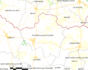
Fougerolles-du-Plessis
- commune in Mayenne, France
- Country:
- Postal Code: 53190
- Coordinates: 48° 28' 26" N, 0° 58' 25" E
- GPS tracks (wikiloc): [Link]
- Area: 33.29 sq km
- Population: 1250
- Web site: [Link]


Sainte-Marie-du-Bois
- former commune in Manche, France
- Country:
- Postal Code: 50640
- Coordinates: 48° 33' 47" N, 0° 53' 29" E
- GPS tracks (wikiloc): [Link]
- Area: 4.77 sq km
- Population: 63
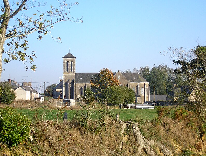
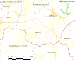
Heussé
- former commune in Manche, France
- Country:
- Postal Code: 50640
- Coordinates: 48° 30' 25" N, 0° 54' 2" E
- GPS tracks (wikiloc): [Link]
- Area: 14.57 sq km
- Population: 228