Saint-Cyr-en-Pail (Saint-Cyr-en-Pail)

- commune in Mayenne, France
- Country:

- Postal Code: 53140
- Coordinates: 48° 26' 27" N, 0° 14' 39" E


- GPS tracks (wikiloc): [Link]
- Area: 20.65 sq km
- Population: 486
- Wikipedia en: wiki(en)
- Wikipedia: wiki(fr)
- Wikidata storage: Wikidata: Q1100166
- Wikipedia Commons Category: [Link]
- Freebase ID: [/m/03np_x8]
- GeoNames ID: Alt: [6436467]
- SIREN number: [215302084]
- BnF ID: [15264001r]
- INSEE municipality code: 53208
Shares border with regions:
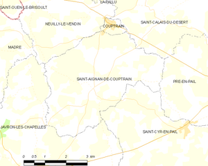
Saint-Aignan-de-Couptrain
- commune in Mayenne, France
- Country:
- Postal Code: 53250
- Coordinates: 48° 27' 21" N, 0° 18' 11" E
- GPS tracks (wikiloc): [Link]
- Area: 17.42 sq km
- Population: 373


Villepail
- commune in Mayenne, France
- Country:
- Postal Code: 53250
- Coordinates: 48° 23' 46" N, 0° 16' 1" E
- GPS tracks (wikiloc): [Link]
- Area: 15.7 sq km
- Population: 174


Javron-les-Chapelles
- commune in Mayenne, France
- Country:
- Postal Code: 53250
- Coordinates: 48° 25' 3" N, 0° 20' 16" E
- GPS tracks (wikiloc): [Link]
- AboveSeaLevel: 194 м m
- Area: 38.13 sq km
- Population: 1403
- Web site: [Link]