Saint-Cyr-sur-le-Rhône (Saint-Cyr-sur-le-Rhône)

- commune in Rhône, France
- Country:

- Postal Code: 69560
- Coordinates: 45° 30' 57" N, 4° 51' 9" E


- GPS tracks (wikiloc): [Link]
- Area: 6.02 sq km
- Population: 1311
- Web site: http://www.stcyr-rhone.fr
- Wikipedia en: wiki(en)
- Wikipedia: wiki(fr)
- Wikidata storage: Wikidata: Q1615375
- Wikipedia Commons Category: [Link]
- Freebase ID: [/m/03qgffq]
- SIREN number: [216901934]
- BnF ID: [15272281h]
- MusicBrainz area ID: [fa8eda95-3098-4227-8a96-0deb8c0efc26]
- INSEE municipality code: 69193
Shares border with regions:

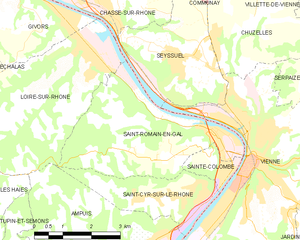
Saint-Romain-en-Gal
- commune in Rhône, France
- Country:
- Postal Code: 69560
- Coordinates: 45° 31' 57" N, 4° 51' 43" E
- GPS tracks (wikiloc): [Link]
- Area: 13.39 sq km
- Population: 1800


Loire-sur-Rhône
- commune in Rhône, France
- Country:
- Postal Code: 69700
- Coordinates: 45° 33' 38" N, 4° 48' 22" E
- GPS tracks (wikiloc): [Link]
- AboveSeaLevel: 157 м m
- Area: 16.6 sq km
- Population: 2549
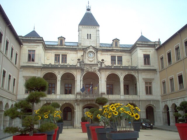
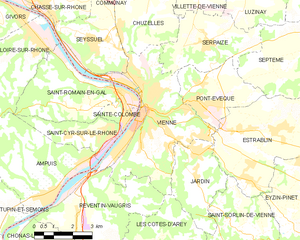
Vienne
- commune in Isère, France
- Country:
- Postal Code: 38200
- Coordinates: 45° 31' 32" N, 4° 52' 29" E
- GPS tracks (wikiloc): [Link]
- AboveSeaLevel: 169 м m
- Area: 22.65 sq km
- Population: 29162
- Web site: [Link]


Ampuis
- commune in Rhône, France
- Country:
- Postal Code: 69420
- Coordinates: 45° 29' 21" N, 4° 48' 36" E
- GPS tracks (wikiloc): [Link]
- Area: 15.57 sq km
- Population: 2711
- Web site: [Link]


Sainte-Colombe
- commune in Rhône, France
- Country:
- Postal Code: 69560
- Coordinates: 45° 31' 31" N, 4° 52' 0" E
- GPS tracks (wikiloc): [Link]
- Area: 1.6 sq km
- Population: 1962