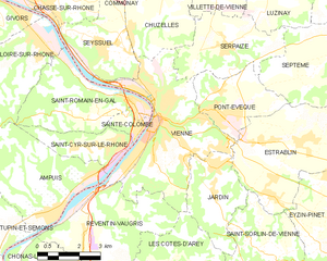
Vienne (Vienne)
- commune in Isère, France
- Country:

- Postal Code: 38200
- Coordinates: 45° 31' 32" N, 4° 52' 29" E


- GPS tracks (wikiloc): [Link]
- AboveSeaLevel: 169 м m
- Area: 22.65 sq km
- Population: 29162
- Web site: http://www.vienne.fr
- Wikipedia en: wiki(en)
- Wikipedia: wiki(fr)
- Wikidata storage: Wikidata: Q26849
- Wikipedia Commons Category: [Link]
- Freebase ID: [/m/02mrxs]
- Freebase ID: [/m/02mrxs]
- GeoNames ID: Alt: [2969284]
- GeoNames ID: Alt: [2969284]
- SIREN number: [213805443]
- SIREN number: [213805443]
- BnF ID: [15258344m]
- BnF ID: [15258344m]
- VIAF ID: Alt: [152049885]
- VIAF ID: Alt: [152049885]
- GND ID: Alt: [4119422-6]
- GND ID: Alt: [4119422-6]
- archINFORM location ID: [11374]
- archINFORM location ID: [11374]
- Library of Congress authority ID: Alt: [n80139195]
- Library of Congress authority ID: Alt: [n80139195]
- MusicBrainz area ID: [5e4a2bdb-2db0-463f-9a7e-9595ba8a02f8]
- MusicBrainz area ID: [5e4a2bdb-2db0-463f-9a7e-9595ba8a02f8]
- Gran Enciclopèdia Catalana ID: [0070502]
- Gran Enciclopèdia Catalana ID: [0070502]
- EMLO location ID: [c23c22ff-6e55-4074-8403-0d5c463ad347]
- EMLO location ID: [c23c22ff-6e55-4074-8403-0d5c463ad347]
- Great Russian Encyclopedia Online ID: [2379901]
- Great Russian Encyclopedia Online ID: [2379901]
- ISNI: Alt: [0000 0001 2186 5140]
- ISNI: Alt: [0000 0001 2186 5140]
- INSEE municipality code: 38544
- INSEE municipality code: 38544
Shares border with regions:


Les Côtes-d'Arey
- commune in Isère, France
- Country:

- Postal Code: 38138
- Coordinates: 45° 27' 21" N, 4° 52' 1" E


- GPS tracks (wikiloc): [Link]
- Area: 24.31 sq km
- Population: 1983


Seyssuel
- commune in Isère, France
- Country:

- Postal Code: 38200
- Coordinates: 45° 33' 36" N, 4° 50' 44" E


- GPS tracks (wikiloc): [Link]
- Area: 9.75 sq km
- Population: 1989
- Web site: [Link]


Pont-Évêque
- commune in Isère, France
Pont-Évêque is a charming commune located in the Auvergne-Rhône-Alpes region of France, near the banks of the Rhône River. While it may not be as well-known for hiking as some of the larger national parks or mountain ranges in France, it still offers opportunities for outdoor enthusiasts to explore the natural beauty of the surrounding area....
- Country:

- Postal Code: 38780
- Coordinates: 45° 31' 49" N, 4° 54' 40" E


- GPS tracks (wikiloc): [Link]
- Area: 8.76 sq km
- Population: 5218
- Web site: [Link]

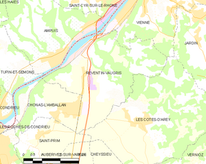
Reventin-Vaugris
- commune in Isère, France
- Country:

- Postal Code: 38121
- Coordinates: 45° 28' 5" N, 4° 50' 27" E


- GPS tracks (wikiloc): [Link]
- Area: 18.4 sq km
- Population: 1785
- Web site: [Link]


Estrablin
- commune in Isère, France
Estrablin, located in the Auvergne-Rhône-Alpes region of southeastern France, offers a charming landscape for hiking enthusiasts. Whether you are looking for a leisurely stroll or a more challenging trek, the area provides various trails that allow hikers to explore the natural beauty around....
- Country:

- Postal Code: 38780
- Coordinates: 45° 31' 1" N, 4° 57' 53" E


- GPS tracks (wikiloc): [Link]
- Area: 20.69 sq km
- Population: 3296

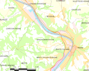
Saint-Romain-en-Gal
- commune in Rhône, France
- Country:

- Postal Code: 69560
- Coordinates: 45° 31' 57" N, 4° 51' 43" E


- GPS tracks (wikiloc): [Link]
- Area: 13.39 sq km
- Population: 1800


Saint-Cyr-sur-le-Rhône
- commune in Rhône, France
- Country:

- Postal Code: 69560
- Coordinates: 45° 30' 57" N, 4° 51' 9" E


- GPS tracks (wikiloc): [Link]
- Area: 6.02 sq km
- Population: 1311
- Web site: [Link]
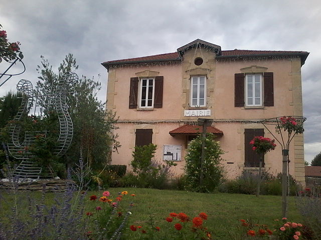
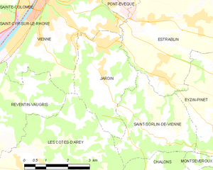
Jardin
- commune in Isère, France
Jardin, located in the Isère department of the Auvergne-Rhône-Alpes region in southeastern France, is a lesser-known gem for hiking enthusiasts. The area is characterized by its picturesque landscapes, lush forests, and stunning mountain vistas, making it ideal for outdoor activities....
- Country:

- Postal Code: 38200
- Coordinates: 45° 29' 47" N, 4° 54' 30" E


- GPS tracks (wikiloc): [Link]
- Area: 9.25 sq km
- Population: 2211
- Web site: [Link]


Ampuis
- commune in Rhône, France
- Country:

- Postal Code: 69420
- Coordinates: 45° 29' 21" N, 4° 48' 36" E


- GPS tracks (wikiloc): [Link]
- Area: 15.57 sq km
- Population: 2711
- Web site: [Link]


Serpaize
- commune in Isère, France
Serpaize is a charming commune located in the Auvergne-Rhône-Alpes region of eastern France. Although it may not be as widely known for hiking as some other areas in the region, it offers a variety of scenic trails that can be enjoyed by hikers of all levels....
- Country:

- Postal Code: 38200
- Coordinates: 45° 33' 32" N, 4° 55' 5" E


- GPS tracks (wikiloc): [Link]
- Area: 11.71 sq km
- Population: 1838
- Web site: [Link]


Sainte-Colombe
- commune in Rhône, France
- Country:

- Postal Code: 69560
- Coordinates: 45° 31' 31" N, 4° 52' 0" E


- GPS tracks (wikiloc): [Link]
- Area: 1.6 sq km
- Population: 1962


Chuzelles
- commune in Isère, France
- Country:

- Postal Code: 38200
- Coordinates: 45° 35' 8" N, 4° 52' 39" E


- GPS tracks (wikiloc): [Link]
- Area: 13.03 sq km
- Population: 2008
- Web site: [Link]
