Saint-Gaudens (Saint-Gaudens)
- commune in Haute-Garonne, France
- Country:

- Postal Code: 31800
- Coordinates: 43° 6' 29" N, 0° 43' 24" E


- GPS tracks (wikiloc): [Link]
- AboveSeaLevel: 405 м m
- Area: 27.35 sq km
- Population: 11327
- Web site: http://www.stgo.fr
- Wikipedia en: wiki(en)
- Wikipedia: wiki(fr)
- Wikidata storage: Wikidata: Q209777
- Wikipedia Commons Category: [Link]
- Freebase ID: [/m/0430fx]
- Freebase ID: [/m/0430fx]
- GeoNames ID: Alt: [2980045]
- GeoNames ID: Alt: [2980045]
- SIREN number: [213104839]
- SIREN number: [213104839]
- BnF ID: [15255478g]
- BnF ID: [15255478g]
- VIAF ID: Alt: [141595296]
- VIAF ID: Alt: [141595296]
- GND ID: Alt: [4118240-6]
- GND ID: Alt: [4118240-6]
- Library of Congress authority ID: Alt: [n85042706]
- Library of Congress authority ID: Alt: [n85042706]
- PACTOLS thesaurus ID: [pcrtDu8wf12B1V]
- PACTOLS thesaurus ID: [pcrtDu8wf12B1V]
- MusicBrainz area ID: [b1b9cea1-5af3-43ec-b1ac-6ef062218017]
- MusicBrainz area ID: [b1b9cea1-5af3-43ec-b1ac-6ef062218017]
- INSEE municipality code: 31483
- INSEE municipality code: 31483
Shares border with regions:


Villeneuve-de-Rivière
- commune in Haute-Garonne, France
- Country:

- Postal Code: 31800
- Coordinates: 43° 7' 15" N, 0° 40' 0" E


- GPS tracks (wikiloc): [Link]
- Area: 13.57 sq km
- Population: 1790
- Web site: [Link]
Saux-et-Pomarède
- commune in Haute-Garonne, France
- Country:

- Postal Code: 31800
- Coordinates: 43° 9' 11" N, 0° 43' 3" E


- GPS tracks (wikiloc): [Link]
- Area: 12.52 sq km
- Population: 278
Estancarbon
- commune in Haute-Garonne, France
- Country:

- Postal Code: 31800
- Coordinates: 43° 6' 16" N, 0° 47' 9" E


- GPS tracks (wikiloc): [Link]
- Area: 6.23 sq km
- Population: 607
- Web site: [Link]


Miramont-de-Comminges
- commune in Haute-Garonne, France
- Country:

- Postal Code: 31800
- Coordinates: 43° 5' 37" N, 0° 44' 48" E


- GPS tracks (wikiloc): [Link]
- Area: 8.09 sq km
- Population: 775
- Web site: [Link]


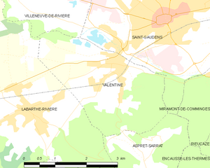
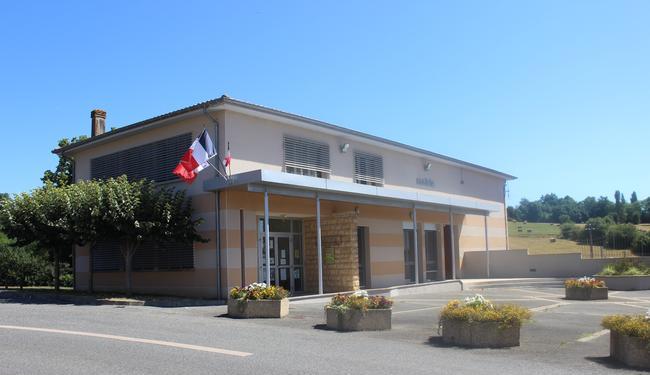
Valentine
- commune in Haute-Garonne, France
- Country:

- Postal Code: 31800
- Coordinates: 43° 5' 43" N, 0° 42' 17" E


- GPS tracks (wikiloc): [Link]
- Area: 8.03 sq km
- Population: 879


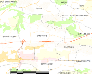
Landorthe
- commune in Haute-Garonne, France
- Country:

- Postal Code: 31800
- Coordinates: 43° 7' 53" N, 0° 47' 2" E


- GPS tracks (wikiloc): [Link]
- Area: 9.65 sq km
- Population: 980
- Web site: [Link]


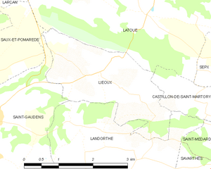
Lieoux
- commune in Haute-Garonne, France
- Country:

- Postal Code: 31800
- Coordinates: 43° 9' 18" N, 0° 46' 10" E


- GPS tracks (wikiloc): [Link]
- Area: 5.83 sq km
- Population: 125
- Web site: [Link]
Aspret-Sarrat
- commune in Haute-Garonne, France
- Country:

- Postal Code: 31800
- Coordinates: 43° 4' 1" N, 0° 43' 1" E


- GPS tracks (wikiloc): [Link]
- Area: 3.82 sq km
- Population: 143
