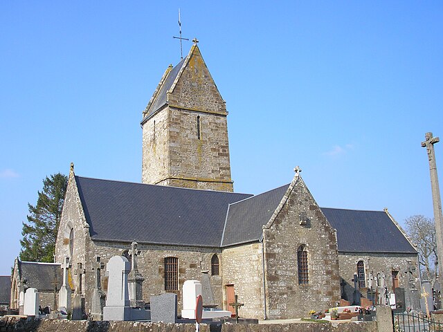
Saint-Germain-de-Tallevende-la-Lande-Vaumont (Saint-Germain-de-Tallevende-la-Lande-Vaumont)

- former commune in Calvados, France
- Country:

- Postal Code: 14500
- Coordinates: 48° 48' 2" N, 0° 54' 8" E


- GPS tracks (wikiloc): [Link]
- AboveSeaLevel: 200 м m
- Area: 41.89 sq km
- Population: 2020
- Web site: http://www.saint-germain-de-tallevende.fr
- Wikipedia en: wiki(en)
- Wikipedia: wiki(fr)
- Wikidata storage: Wikidata: Q41981
- Wikipedia Commons Category: [Link]
- Freebase ID: [/m/032_11]
- GeoNames ID: Alt: [2979802]
- BnF ID: [15247994c]
- INSEE municipality code: 14584
Shares border with regions:


Vengeons
- former commune in Manche, France
- Country:
- Postal Code: 50150
- Coordinates: 48° 45' 17" N, 0° 55' 0" E
- GPS tracks (wikiloc): [Link]
- Area: 15.75 sq km
- Population: 470


Chaulieu
- commune in Manche, France
- Country:
- Postal Code: 50150
- Coordinates: 48° 44' 8" N, 0° 51' 43" E
- GPS tracks (wikiloc): [Link]
- Area: 10.64 sq km
- Population: 302


Gathemo
- commune in Manche, France
- Country:
- Postal Code: 50150
- Coordinates: 48° 45' 55" N, 0° 58' 33" E
- GPS tracks (wikiloc): [Link]
- Area: 10.41 sq km
- Population: 242


Roullours
- former commune in Calvados, France
- Country:
- Postal Code: 14500
- Coordinates: 48° 49' 57" N, 0° 50' 24" E
- GPS tracks (wikiloc): [Link]
- Area: 13.15 sq km
- Population: 932


Vire
- former commune in Calvados, France
- Country:
- Postal Code: 14500
- Coordinates: 48° 50' 19" N, 0° 53' 21" E
- GPS tracks (wikiloc): [Link]
- Area: 22.5 sq km
- Population: 11264
- Web site: [Link]

Maisoncelles-la-Jourdan
- former commune in Calvados, France
- Country:
- Postal Code: 14500
- Coordinates: 48° 48' 2" N, 0° 50' 59" E
- GPS tracks (wikiloc): [Link]
- Area: 13.54 sq km
- Population: 453


Champ-du-Boult
- former commune in Calvados, France
- Country:
- Postal Code: 14380
- Coordinates: 48° 47' 35" N, 1° 0' 29" E
- GPS tracks (wikiloc): [Link]
- Area: 13.85 sq km
- Population: 372
- Web site: [Link]


Saint-Manvieu-Bocage
- former commune in Calvados, France
- Country:
- Postal Code: 14380
- Coordinates: 48° 49' 31" N, 0° 58' 38" E
- GPS tracks (wikiloc): [Link]
- Area: 11.78 sq km
- Population: 547