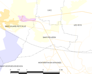
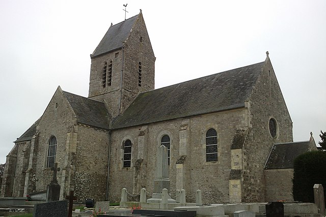
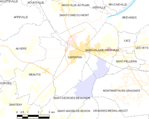
Saint-Hilaire-Petitville (Saint-Hilaire-Petitville)

- commune in Manche, France
- Country:

- Postal Code: 50500
- Coordinates: 49° 18' 14" N, 1° 13' 40" E


- GPS tracks (wikiloc): [Link]
- Area: 9.99 sq km
- Population: 1385
- Web site: http://www.mairie-sainthilairepetitville.fr
- Wikipedia en: wiki(en)
- Wikipedia: wiki(fr)
- Wikidata storage: Wikidata: Q1062926
- Wikipedia Commons Category: [Link]
- Freebase ID: [/m/03x_zgz]
- Freebase ID: [/m/03x_zgz]
- GeoNames ID: Alt: [6435596]
- GeoNames ID: Alt: [6435596]
- SIREN number: [215004854]
- SIREN number: [215004854]
- BnF ID: [15262458b]
- BnF ID: [15262458b]
- INSEE municipality code: 50485
- INSEE municipality code: 50485
Shares border with regions:


Catz
- commune in Manche, France
- Country:
- Postal Code: 50500
- Coordinates: 49° 18' 39" N, 1° 10' 48" E
- GPS tracks (wikiloc): [Link]
- Area: 2.78 sq km
- Population: 141

Saint-Pellerin
- former commune in Manche, France
- Country:
- Postal Code: 50500
- Coordinates: 49° 17' 52" N, 1° 10' 42" E
- GPS tracks (wikiloc): [Link]
- Area: 4.37 sq km
- Population: 387


Saint-Georges-de-Bohon
- former commune in Manche, France
- Country:
- Postal Code: 50500
- Coordinates: 49° 15' 2" N, 1° 16' 10" E
- GPS tracks (wikiloc): [Link]
- Area: 13.96 sq km
- Population: 403

Brévands
- former commune in Manche, France
- Country:
- Postal Code: 50500
- Coordinates: 49° 19' 54" N, 1° 11' 0" E
- GPS tracks (wikiloc): [Link]
- Area: 13.87 sq km
- Population: 306

Carentan
- former commune in Manche, France
- Country:
- Postal Code: 50500
- Coordinates: 49° 18' 12" N, 1° 14' 54" E
- GPS tracks (wikiloc): [Link]
- AboveSeaLevel: 6 м m
- Area: 15.66 sq km
- Population: 5892
- Web site: [Link]


Saint-Côme-du-Mont
- former commune in Manche, France
- Country:
- Postal Code: 50500
- Coordinates: 49° 20' 9" N, 1° 16' 20" E
- GPS tracks (wikiloc): [Link]
- Area: 12.91 sq km
- Population: 515


Montmartin-en-Graignes
- commune in Manche, France
- Country:
- Postal Code: 50620
- Coordinates: 49° 16' 31" N, 1° 8' 48" E
- GPS tracks (wikiloc): [Link]
- Area: 30.34 sq km
- Population: 588