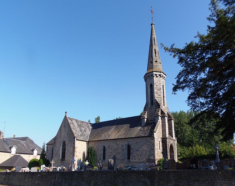
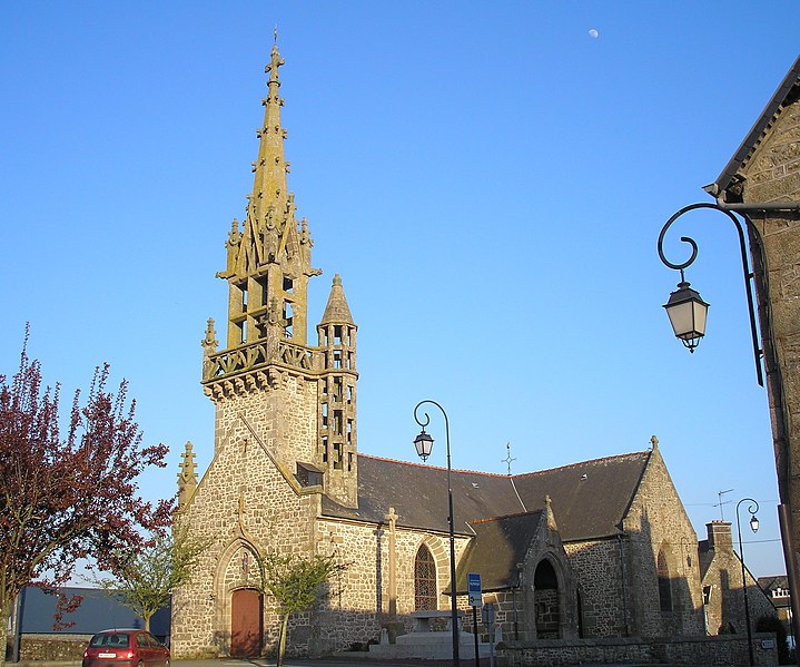
Saint-Hilaire-du-Harcouët (Saint-Hilaire-du-Harcouët)
- commune in Manche, France
- Country:

- Postal Code: 50730; 50600
- Coordinates: 48° 34' 40" N, 1° 5' 31" E


- GPS tracks (wikiloc): [Link]
- Area: 10.12 sq km
- Population: 3900
- Web site: http://www.st-hilaire.fr
- Wikipedia en: wiki(en)
- Wikipedia: wiki(fr)
- Wikidata storage: Wikidata: Q736333
- Wikipedia Commons Category: [Link]
- Freebase ID: [/m/02q6mjp]
- Freebase ID: [/m/02q6mjp]
- BnF ID: [152624570]
- BnF ID: [152624570]
- VIAF ID: Alt: [239653674]
- VIAF ID: Alt: [239653674]
- Library of Congress authority ID: Alt: [nr98021420]
- Library of Congress authority ID: Alt: [nr98021420]
- MusicBrainz area ID: [596ad234-15e0-4b53-9487-3770d0d58a51]
- MusicBrainz area ID: [596ad234-15e0-4b53-9487-3770d0d58a51]
- INSEE municipality code: 50484
- INSEE municipality code: 50484
Shares border with regions:


Hamelin
- commune in Manche, France
- Country:

- Postal Code: 50730
- Coordinates: 48° 32' 38" N, 1° 12' 34" E


- GPS tracks (wikiloc): [Link]
- Area: 2.46 sq km
- Population: 98


Saint-Brice-de-Landelles
- commune in Manche, France
- Country:

- Postal Code: 50730
- Coordinates: 48° 32' 1" N, 1° 9' 9" E


- GPS tracks (wikiloc): [Link]
- AboveSeaLevel: 185 м m
- Area: 14.77 sq km
- Population: 689


Lapenty
- commune in Manche, France
- Country:

- Postal Code: 50600
- Coordinates: 48° 34' 45" N, 1° 0' 25" E


- GPS tracks (wikiloc): [Link]
- Area: 14.89 sq km
- Population: 387
- Web site: [Link]


Monthault
- commune in Ille-et-Vilaine, France
- Country:

- Postal Code: 35420
- Coordinates: 48° 30' 41" N, 1° 10' 53" E


- GPS tracks (wikiloc): [Link]
- Area: 8.2 sq km
- Population: 271
- Web site: [Link]


Les Loges-Marchis
- commune in Manche, France
- Country:

- Postal Code: 50600
- Coordinates: 48° 32' 31" N, 1° 5' 18" E


- GPS tracks (wikiloc): [Link]
- Area: 19.78 sq km
- Population: 1009


Saint-Georges-de-Reintembault
- commune in Ille-et-Vilaine, France
- Country:

- Postal Code: 35420
- Coordinates: 48° 30' 27" N, 1° 14' 36" E


- GPS tracks (wikiloc): [Link]
- AboveSeaLevel: 130 м m
- Area: 31.02 sq km
- Population: 1556
- Web site: [Link]


Moulines
- commune in Manche, France
- Country:

- Postal Code: 50600
- Coordinates: 48° 32' 43" N, 1° 1' 57" E


- GPS tracks (wikiloc): [Link]
- Area: 7.41 sq km
- Population: 296


Saint-Laurent-de-Terregatte
- commune in Manche, France
- Country:

- Postal Code: 50111
- Coordinates: 48° 34' 20" N, 1° 15' 33" E


- GPS tracks (wikiloc): [Link]
- Area: 16.35 sq km
- Population: 644


Isigny-le-Buat
- commune in Manche, France
- Country:

- Postal Code: 50540
- Coordinates: 48° 37' 8" N, 1° 10' 17" E


- GPS tracks (wikiloc): [Link]
- Area: 73.31 sq km
- Population: 3299
- Web site: [Link]


Virey
- former commune in Manche, France
- Country:

- Postal Code: 50600
- Coordinates: 48° 35' 4" N, 1° 8' 1" E


- GPS tracks (wikiloc): [Link]
- Area: 16.94 sq km
- Population: 1057
