Saint-Léger-du-Ventoux (Saint-Léger-du-Ventoux)
- commune in Vaucluse, France
 Hiking in Saint-Léger-du-Ventoux
Saint-Léger-du-Ventoux is a charming village located in the Vaucluse department of the Provence-Alpes-Côte d'Azur region in southern France, at the foot of the iconic Mont Ventoux. This area is known for its stunning landscapes, diverse flora and fauna, and excellent hiking opportunities.
Hiking Opportunities:
-
Mont Ventoux: The nearby Mont Ventoux (often referred to as the "Giant of Provence") offers numerous trails for hikers of all skill levels. The summit provides panoramic views of the surrounding landscapes, making it well worth the climb. Popular routes include the paths from Bédoin and Malaucène.
-
GR4 Trail: This long-distance hiking trail passes near Saint-Léger-du-Ventoux, giving hikers the chance to experience the varied terrain of Provence, from vineyards to forests, and even rocky outcrops.
-
Local Trails: The village and its surrounding areas have numerous marked trails that allow you to explore the picturesque countryside, including vineyards and cherry orchards. These trails often provide opportunities for spotting local wildlife and enjoying the beautiful scenery.
Tips for Hiking in Saint-Léger-du-Ventoux:
- Season: Spring and fall are ideal for hiking, with mild temperatures and beautiful wildflowers in spring. Summer can be quite hot, so be prepared with adequate hydration and sun protection.
- Equipment: Wear good hiking boots and bring a map or GPS device to navigate the trails. It’s also wise to carry a small first aid kit and plenty of water.
- Weather: Weather can change quickly, especially on Mont Ventoux, so check forecasts before heading out, and consider layers for temperature changes.
- Respect Nature: Stay on marked trails to preserve the local flora and fauna, and follow Leave No Trace principles to minimize your impact on the environment.
Local Culture and Amenities:
After your hike, you can enjoy the local Provençal cuisine in the village's restaurants, sample regional wines, or visit nearby lavender fields, particularly during the blooming season in late June to early August.
Saint-Léger-du-Ventoux is a perfect spot for both seasoned hikers and those looking for a peaceful escape into nature, offering a blend of outdoor adventure and cultural experiences.
- Country:

- Postal Code: 84390
- Coordinates: 44° 12' 44" N, 5° 16' 32" E


- GPS tracks (wikiloc): [Link]
- Area: 19.29 sq km
- Population: 37
- Wikipedia en: wiki(en)
- Wikipedia: wiki(fr)
- Wikidata storage: Wikidata: Q626676
- Wikipedia Commons Category: [Link]
- Freebase ID: [/m/02vmnt1]
- GeoNames ID: Alt: [2978825]
- SIREN number: [218401107]
- BnF ID: [15278090c]
- INSEE municipality code: 84110
Shares border with regions:
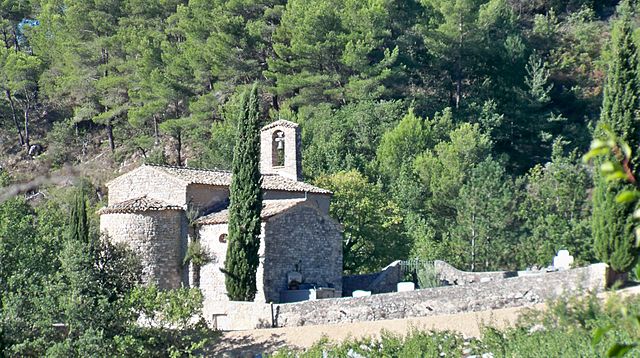
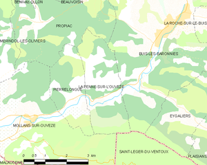
La Penne-sur-l'Ouvèze
- commune in Drôme, France
 Hiking in La Penne-sur-l'Ouvèze
La Penne-sur-l'Ouvèze is a charming village located in the Vaucluse department of the Provence-Alpes-Côte d'Azur region in southeastern France. It is a fantastic destination for hiking enthusiasts, as it offers a variety of trails that cater to different skill levels and showcase the beautiful natural landscape of the region. Here are some highlights of hiking in this area:...
- Country:

- Postal Code: 26170
- Coordinates: 44° 15' 7" N, 5° 13' 42" E


- GPS tracks (wikiloc): [Link]
- Area: 7.32 sq km
- Population: 102

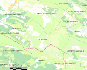
Plaisians
- commune in Drôme, France
Plaisians is a charming village located in the southern part of France, nestled in the picturesque region of the Vaucluse in Provence. It offers stunning landscapes, including rolling hills, vineyards, and forests, making it a fantastic destination for hiking enthusiasts....
- Country:

- Postal Code: 26170
- Coordinates: 44° 13' 45" N, 5° 19' 3" E


- GPS tracks (wikiloc): [Link]
- Area: 29.64 sq km
- Population: 195


Buis-les-Baronnies
- commune in Drôme, France
Buis-les-Baronnies, located in the Drome department of southeastern France, is a fantastic destination for hiking enthusiasts. Nestled in the picturesque Baronnies region, the area boasts diverse landscapes, varying altitudes, and a mild Mediterranean climate, making it ideal for outdoor activities....
- Country:

- Postal Code: 26170
- Coordinates: 44° 16' 31" N, 5° 16' 28" E


- GPS tracks (wikiloc): [Link]
- Area: 33.74 sq km
- Population: 2287
- Web site: [Link]
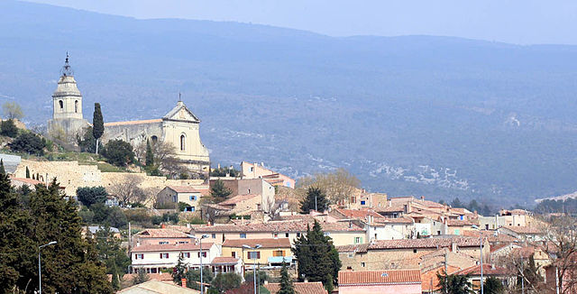
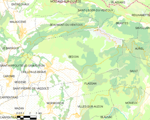
Bédoin
- commune in Vaucluse, France
Bédoin is a picturesque village located at the foot of Mont Ventoux in the Provence region of France, making it a fantastic destination for hiking enthusiasts. Here are some highlights and tips for hiking in Bédoin:...
- Country:

- Postal Code: 84410
- Coordinates: 44° 7' 24" N, 5° 10' 47" E


- GPS tracks (wikiloc): [Link]
- Area: 91.03 sq km
- Population: 3087
- Web site: [Link]


Beaumont-du-Ventoux
- commune in Vaucluse, France
Beaumont-du-Ventoux, located in the Vaucluse department of southeastern France, is an excellent destination for hiking enthusiasts. Nestled near the majestic Mont Ventoux, often referred to as the "Giant of Provence," this area offers a variety of stunning trails that cater to different skill levels....
- Country:

- Postal Code: 84340
- Coordinates: 44° 10' 57" N, 5° 9' 57" E


- GPS tracks (wikiloc): [Link]
- Area: 28.16 sq km
- Population: 285

Mollans-sur-Ouvèze
- commune in Drôme, France
Mollans-sur-Ouvèze is a charming village located in the Vaucluse department in the Provence-Alpes-Côte d'Azur region of France. It is surrounded by picturesque landscapes, making it a great destination for hiking enthusiasts. Here are some key points about hiking in and around Mollans-sur-Ouvèze:...
- Country:

- Postal Code: 26170
- Coordinates: 44° 14' 11" N, 5° 11' 27" E


- GPS tracks (wikiloc): [Link]
- Area: 19.96 sq km
- Population: 1062
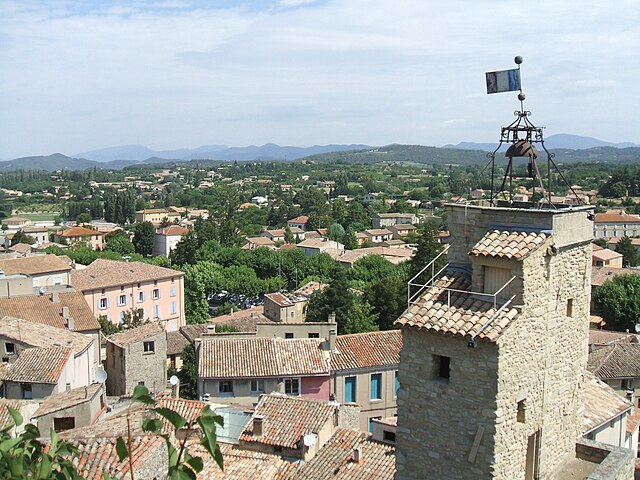

Malaucène
- commune in Vaucluse, France
Malaucène is a charming village located in the Vaucluse department of the Provence-Alpes-Côte d'Azur region in southern France. It is nestled at the foot of Mont Ventoux, one of the most famous peaks in the region, which offers a wide range of hiking opportunities for both novice and experienced hikers....
- Country:

- Postal Code: 84340
- Coordinates: 44° 10' 27" N, 5° 7' 56" E


- GPS tracks (wikiloc): [Link]
- Area: 45.33 sq km
- Population: 2849
- Web site: [Link]


Brantes
- commune in Vaucluse, France
Brantes is a picturesque village located in the Vaucluse department of the Provence region in France. It’s known for its stunning landscapes, charming architecture, and proximity to the Mont Ventoux area, making it a great base for hiking enthusiasts....
- Country:

- Postal Code: 84390
- Coordinates: 44° 11' 36" N, 5° 20' 0" E


- GPS tracks (wikiloc): [Link]
- Area: 28.18 sq km
- Population: 81


Eygaliers
- commune in Drôme, France
Eygaliers is a beautiful village located in the southern part of France, in the region of Provence-Alpes-Côte d'Azur, specifically in the Drôme department. This area is known for its stunning landscapes, including rocky cliffs, lush forests, and breathtaking views of the surrounding countryside, making it a fantastic destination for hiking enthusiasts....
- Country:

- Postal Code: 26170
- Coordinates: 44° 14' 21" N, 5° 16' 48" E


- GPS tracks (wikiloc): [Link]
- Area: 8 sq km
- Population: 102
