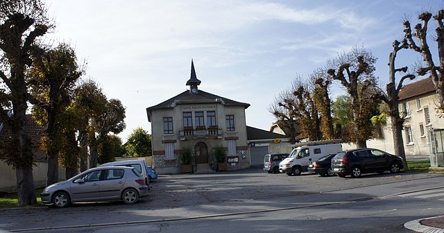
Saint-Léonard (Saint-Léonard)

- commune in Marne, France
- Country:

- Postal Code: 51500
- Coordinates: 49° 13' 14" N, 4° 5' 47" E


- GPS tracks (wikiloc): [Link]
- Area: 3.04 sq km
- Population: 109
- Wikipedia en: wiki(en)
- Wikipedia: wiki(fr)
- Wikidata storage: Wikidata: Q749636
- Wikipedia Commons Category: [Link]
- Freebase ID: [/m/03qd9cy]
- GeoNames ID: Alt: [6435986]
- SIREN number: [215104571]
- BnF ID: [15263088d]
- INSEE municipality code: 51493
Shares border with regions:


Cernay-lès-Reims
- commune in Marne, France
- Country:
- Postal Code: 51420
- Coordinates: 49° 15' 49" N, 4° 6' 12" E
- GPS tracks (wikiloc): [Link]
- Area: 16.49 sq km
- Population: 1359
- Web site: [Link]

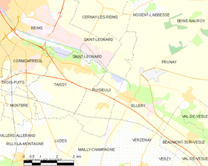
Puisieulx
- commune in Marne, France
- Country:
- Postal Code: 51500
- Coordinates: 49° 11' 35" N, 4° 6' 48" E
- GPS tracks (wikiloc): [Link]
- Area: 9.07 sq km
- Population: 411
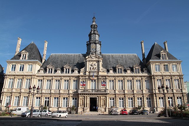

Reims
- city in Marne, France
- Country:
- Postal Code: 51100
- Coordinates: 49° 15' 55" N, 4° 1' 43" E
- GPS tracks (wikiloc): [Link]
- AboveSeaLevel: 105 м m
- Area: 46.9 sq km
- Population: 184076
- Web site: [Link]

Taissy
- commune in Marne, France
- Country:
- Postal Code: 51500
- Coordinates: 49° 12' 53" N, 4° 5' 41" E
- GPS tracks (wikiloc): [Link]
- Area: 11.53 sq km
- Population: 2226
- Web site: [Link]