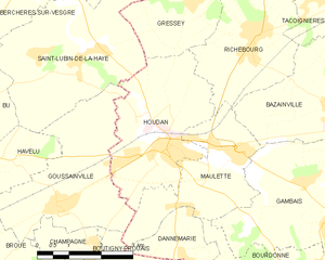
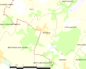
Saint-Lubin-de-la-Haye (Saint-Lubin-de-la-Haye)
- commune in Eure-et-Loir, France
- Country:

- Postal Code: 28410
- Coordinates: 48° 49' 9" N, 1° 34' 17" E


- GPS tracks (wikiloc): [Link]
- Area: 14.32 sq km
- Population: 953
- Web site: http://cc-payshoudanais.fr/stlh_accueil.php
- Wikipedia en: wiki(en)
- Wikipedia: wiki(fr)
- Wikidata storage: Wikidata: Q578768
- Wikipedia Commons Category: [Link]
- Freebase ID: [/m/03nrmln]
- GeoNames ID: Alt: [6430880]
- SIREN number: [212803472]
- BnF ID: [15254277b]
- INSEE municipality code: 28347
Shares border with regions:


Houdan
- commune in Yvelines, France
- Country:

- Postal Code: 78550
- Coordinates: 48° 47' 27" N, 1° 36' 6" E


- GPS tracks (wikiloc): [Link]
- Area: 10.39 sq km
- Population: 3535


Gressey
- commune in Yvelines, France
- Country:

- Postal Code: 78550
- Coordinates: 48° 50' 2" N, 1° 36' 32" E


- GPS tracks (wikiloc): [Link]
- Area: 7.11 sq km
- Population: 548


Boissets
- commune in Yvelines, France
- Country:

- Postal Code: 78910
- Coordinates: 48° 51' 41" N, 1° 35' 1" E


- GPS tracks (wikiloc): [Link]
- Area: 3.9 sq km
- Population: 249
