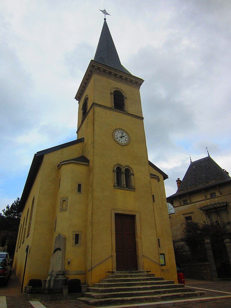
Saint-Max (Saint-Max)

- commune in Meurthe-et-Moselle, France
- Country:

- Postal Code: 54130
- Coordinates: 48° 42' 4" N, 6° 12' 24" E


- GPS tracks (wikiloc): [Link]
- Area: 1.85 sq km
- Population: 9822
- Web site: http://www.saint-max.fr
- Wikipedia en: wiki(en)
- Wikipedia: wiki(fr)
- Wikidata storage: Wikidata: Q607016
- Wikipedia Commons Category: [Link]
- Freebase ID: [/m/03qdmyp]
- Freebase ID: [/m/03qdmyp]
- GeoNames ID: Alt: [2978105]
- GeoNames ID: Alt: [2978105]
- SIREN number: [215404823]
- SIREN number: [215404823]
- BnF ID: [152645494]
- BnF ID: [152645494]
- VIAF ID: Alt: [172985325]
- VIAF ID: Alt: [172985325]
- GND ID: Alt: [4722850-7]
- GND ID: Alt: [4722850-7]
- Library of Congress authority ID: Alt: [n84179176]
- Library of Congress authority ID: Alt: [n84179176]
- INSEE municipality code: 54482
- INSEE municipality code: 54482
Shares border with regions:

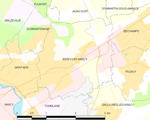
Essey-lès-Nancy
- commune in Meurthe-et-Moselle, France
- Country:
- Postal Code: 54270
- Coordinates: 48° 42' 21" N, 6° 13' 20" E
- GPS tracks (wikiloc): [Link]
- Area: 5.75 sq km
- Population: 8709
- Web site: [Link]

Dommartemont
- commune in Meurthe-et-Moselle, France
- Country:
- Postal Code: 54130
- Coordinates: 48° 42' 47" N, 6° 12' 51" E
- GPS tracks (wikiloc): [Link]
- Area: 1.32 sq km
- Population: 608
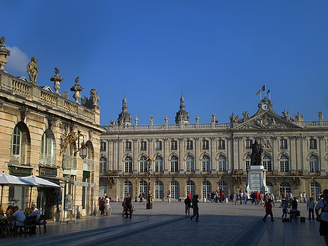

Nancy
- city in Meurthe-et-Moselle, France
- Country:
- Postal Code: 54000
- Coordinates: 48° 41' 34" N, 6° 11' 1" E
- GPS tracks (wikiloc): [Link]
- AboveSeaLevel: 212 м m
- Area: 15.01 sq km
- Population: 105162
- Web site: [Link]
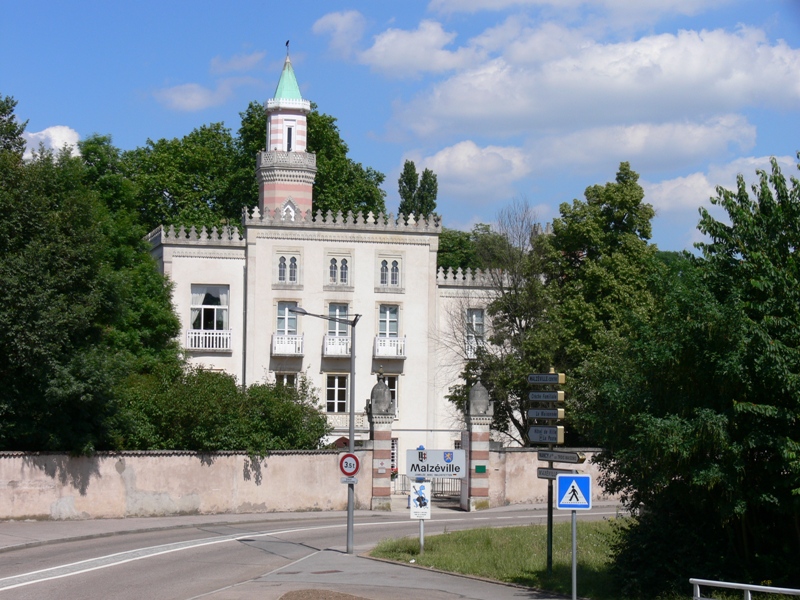

Malzéville
- commune in Meurthe-et-Moselle, France
- Country:
- Postal Code: 54220
- Coordinates: 48° 42' 37" N, 6° 11' 11" E
- GPS tracks (wikiloc): [Link]
- Area: 7.53 sq km
- Population: 7976

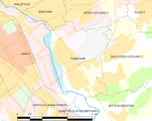
Tomblaine
- commune in Meurthe-et-Moselle, France
- Country:
- Postal Code: 54510
- Coordinates: 48° 41' 8" N, 6° 12' 42" E
- GPS tracks (wikiloc): [Link]
- Area: 5.55 sq km
- Population: 8505
- Web site: [Link]