
Meurthe-et-Moselle (Meurthe-et-Moselle)

- French department
- Country:

- Capital: Nancy
- Coordinates: 48° 40' 0" N, 6° 10' 0" E


- GPS tracks (wikiloc): [Link]
- Area: 5246 sq km
- Population: 734403
- Web site: http://www.meurthe-et-moselle.gouv.fr/
- Wikipedia en: wiki(en)
- Wikipedia: wiki(fr)
- Wikidata storage: Wikidata: Q12626
- Wikipedia Commons Category: [Link]
- Wikipedia Commons Maps Category: [Link]
- Freebase ID: [/m/0mh9s]
- GeoNames ID: Alt: [2994111]
- SIREN number: [225400019]
- BnF ID: [12177683x]
- VIAF ID: Alt: [135460078]
- OSM relation ID: [51856]
- GND ID: Alt: [40668-5]
- archINFORM location ID: [2754]
- Library of Congress authority ID: Alt: [n81124885]
- PACTOLS thesaurus ID: [pcrtmshLSoIxE8]
- MusicBrainz area ID: [eb9460d2-2201-4bfc-b80f-293bf26da53a]
- TGN ID: [7002969]
- SUDOC authorities ID: [030341388]
- Encyclopædia Britannica Online ID: [place/Meurthe-et-Moselle]
- Twitter username: Alt: [Departement54]
- NUTS code: [FR411]
- BabelNet ID: [03798146n]
- Global Anabaptist Mennonite Encyclopedia Online ID: [Meurthe-et-Moselle (Lorraine, France)]
- INSEE department code: [54]
- ISO 3166-2 code: FR-54
Includes regions:


Veney
- commune in Meurthe-et-Moselle, France
- Country:
- Postal Code: 54540
- Coordinates: 48° 28' 1" N, 6° 48' 48" E
- GPS tracks (wikiloc): [Link]
- Area: 3.45 sq km
- Population: 51


Charmes-la-Côte
- commune in Meurthe-et-Moselle, France
- Country:
- Postal Code: 54113
- Coordinates: 48° 37' 32" N, 5° 49' 39" E
- GPS tracks (wikiloc): [Link]
- Area: 6.23 sq km
- Population: 342
Sexey-les-Bois
- commune in Meurthe-et-Moselle, France
- Country:
- Postal Code: 54840
- Coordinates: 48° 42' 56" N, 6° 1' 10" E
- GPS tracks (wikiloc): [Link]
- Area: 6.81 sq km
- Population: 362


Saint-Firmin
- commune in Meurthe-et-Moselle, France
- Country:
- Postal Code: 54930
- Coordinates: 48° 25' 9" N, 6° 7' 58" E
- GPS tracks (wikiloc): [Link]
- Area: 6.67 sq km
- Population: 270


Jevoncourt
- commune in Meurthe-et-Moselle, France
- Country:
- Postal Code: 54740
- Coordinates: 48° 24' 51" N, 6° 10' 6" E
- GPS tracks (wikiloc): [Link]
- Area: 3.29 sq km
- Population: 96


Royaumeix
- commune in Meurthe-et-Moselle, France
- Country:
- Postal Code: 54200
- Coordinates: 48° 46' 41" N, 5° 52' 13" E
- GPS tracks (wikiloc): [Link]
- AboveSeaLevel: 247 м m
- Area: 21.57 sq km
- Population: 341

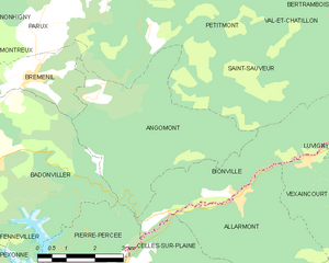
Angomont
- commune in Meurthe-et-Moselle, France
- Country:
- Postal Code: 54540
- Coordinates: 48° 30' 58" N, 6° 56' 48" E
- GPS tracks (wikiloc): [Link]
- Area: 17.28 sq km
- Population: 81


Montigny
- commune in Meurthe-et-Moselle, France
- Country:
- Postal Code: 54540
- Coordinates: 48° 30' 57" N, 6° 48' 0" E
- GPS tracks (wikiloc): [Link]
- Area: 6.11 sq km
- Population: 143


Saulxerotte
- commune in Meurthe-et-Moselle, France
- Country:
- Postal Code: 54115
- Coordinates: 48° 28' 11" N, 5° 56' 40" E
- GPS tracks (wikiloc): [Link]
- Area: 3.15 sq km
- Population: 108


Dommartin-la-Chaussée
- commune in Meurthe-et-Moselle, France
- Country:
- Postal Code: 54470
- Coordinates: 49° 0' 41" N, 5° 51' 44" E
- GPS tracks (wikiloc): [Link]
- AboveSeaLevel: 240 м m
- Area: 2.71 sq km
- Population: 36


Abaucourt
- commune in Meurthe-et-Moselle, France
- Country:
- Postal Code: 54610
- Coordinates: 48° 53' 49" N, 6° 15' 29" E
- GPS tracks (wikiloc): [Link]
- Area: 7.8 sq km
- Population: 301


Badonviller
- commune in Meurthe-et-Moselle, France
- Country:
- Postal Code: 54540
- Coordinates: 48° 30' 0" N, 6° 53' 35" E
- GPS tracks (wikiloc): [Link]
- Area: 21.95 sq km
- Population: 1557
- Web site: [Link]


arrondissement of Briey
- arrondissement of France
- Country:
- Coordinates: 49° 15' 0" N, 5° 50' 0" E
- GPS tracks (wikiloc): [Link]
- Area: 1143 sq km
- Population: 165568

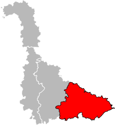
arrondissement of Lunéville
- arrondissement of France
- Country:
- Capital: Lunéville
- Coordinates: 48° 35' 0" N, 6° 40' 0" E
- GPS tracks (wikiloc): [Link]
- Area: 1451 sq km
- Population: 79165
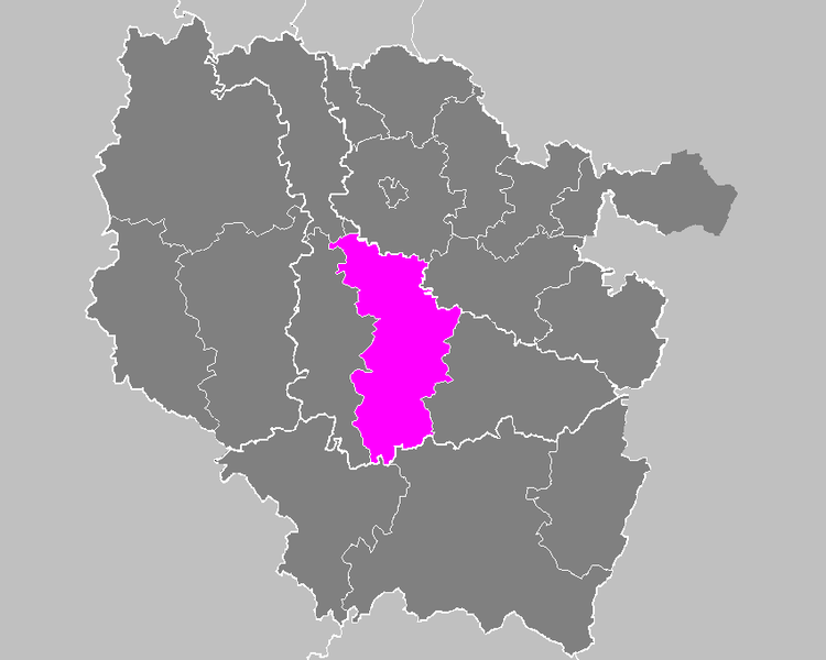

arrondissement of Nancy
- arrondissement of France
- Country:
- Capital: Nancy
- Coordinates: 48° 40' 0" N, 6° 10' 0" E
- GPS tracks (wikiloc): [Link]
- Area: 1509 sq km
- Population: 420147

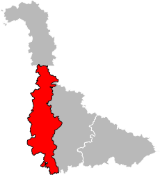
arrondissement of Toul
- arrondissement of France
- Country:
- Capital: Toul
- Coordinates: 48° 40' 0" N, 5° 55' 0" E
- GPS tracks (wikiloc): [Link]
- Area: 1509 sq km
- Population: 69523


Sionviller
- commune in Meurthe-et-Moselle, France
- Country:
- Postal Code: 54300
- Coordinates: 48° 38' 4" N, 6° 31' 51" E
- GPS tracks (wikiloc): [Link]
- Area: 6.74 sq km
- Population: 104


Essey-et-Maizerais
- commune in Meurthe-et-Moselle, France
- Country:
- Postal Code: 54470
- Coordinates: 48° 55' 9" N, 5° 48' 40" E
- GPS tracks (wikiloc): [Link]
- Area: 13.02 sq km
- Population: 400


Domjevin
- commune in Meurthe-et-Moselle, France
- Country:
- Postal Code: 54450
- Coordinates: 48° 34' 34" N, 6° 41' 48" E
- GPS tracks (wikiloc): [Link]
- Area: 10.28 sq km
- Population: 255

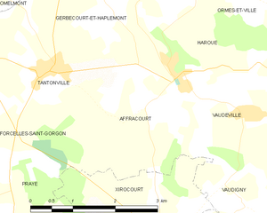
Affracourt
- commune in Meurthe-et-Moselle, France
- Country:
- Postal Code: 54740
- Coordinates: 48° 27' 41" N, 6° 10' 13" E
- GPS tracks (wikiloc): [Link]
- Area: 5.56 sq km
- Population: 109
Shares border with regions:


Meuse
- French department
- Country:
- Capital: Bar-le-Duc
- Coordinates: 48° 57' 56" N, 5° 22' 40" E
- GPS tracks (wikiloc): [Link]
- Area: 6211 sq km
- Population: 190626
- Web site: [Link]


Moselle
- French department
- Country:
- Capital: Metz
- Coordinates: 49° 2' 2" N, 6° 39' 43" E
- GPS tracks (wikiloc): [Link]
- Area: 6216 sq km
- Population: 1044486
- Web site: [Link]


Bas-Rhin
- French department
- Country:
- Capital: Strasbourg
- Coordinates: 48° 49' 0" N, 7° 47' 0" E
- GPS tracks (wikiloc): [Link]
- Area: 4755 sq km
- Population: 1121407
- Web site: [Link]


Vosges
- French department
- Country:
- Capital: Épinal
- Coordinates: 48° 10' 0" N, 6° 25' 0" E
- GPS tracks (wikiloc): [Link]
- Area: 5874 sq km
- Population: 372016
- Web site: [Link]