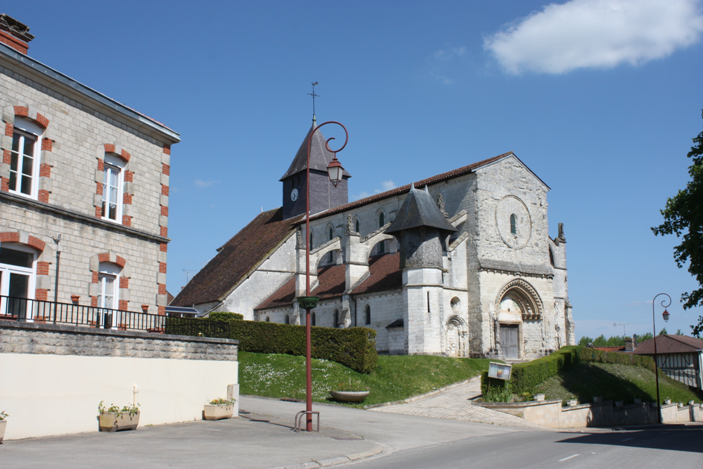
Saint-Ouen-Domprot (Saint-Ouen-Domprot)

- commune in Marne, France
- Country:

- Postal Code: 51320
- Coordinates: 48° 36' 33" N, 4° 24' 30" E


- GPS tracks (wikiloc): [Link]
- AboveSeaLevel: 124 м m
- Area: 37.28 sq km
- Population: 203
- Wikipedia en: wiki(en)
- Wikipedia: wiki(fr)
- Wikidata storage: Wikidata: Q662488
- Wikipedia Commons Category: [Link]
- Freebase ID: [/m/03qd9kt]
- GeoNames ID: Alt: [6616962]
- SIREN number: [215104720]
- BnF ID: [15263103g]
- INSEE municipality code: 51508
Shares border with regions:

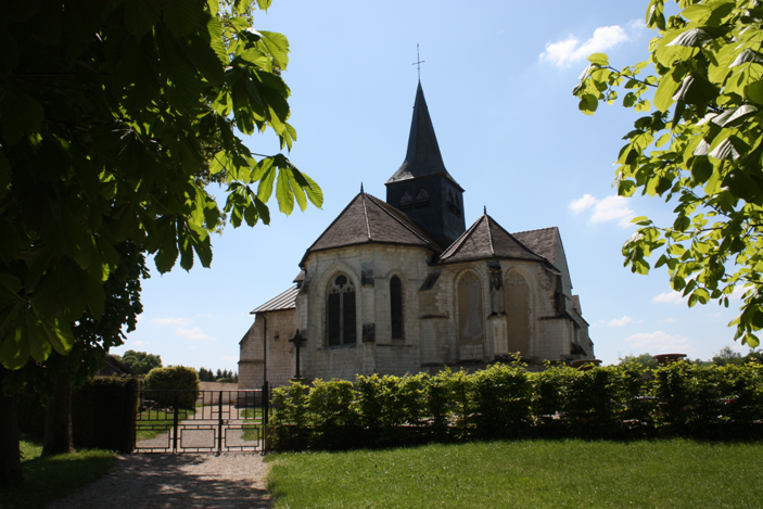
Somsois
- commune in Marne, France
- Country:
- Postal Code: 51290
- Coordinates: 48° 35' 45" N, 4° 30' 13" E
- GPS tracks (wikiloc): [Link]
- Area: 21.31 sq km
- Population: 198
- Web site: [Link]

Le Meix-Tiercelin
- commune in Marne, France
- Country:
- Postal Code: 51320
- Coordinates: 48° 38' 19" N, 4° 25' 4" E
- GPS tracks (wikiloc): [Link]
- Area: 19.41 sq km
- Population: 173

Humbauville
- commune in Marne, France
- Country:
- Postal Code: 51320
- Coordinates: 48° 39' 31" N, 4° 24' 57" E
- GPS tracks (wikiloc): [Link]
- Area: 16.85 sq km
- Population: 81


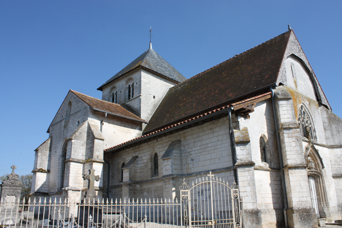
Bréban
- commune in Marne, France
- Country:
- Postal Code: 51320
- Coordinates: 48° 34' 44" N, 4° 24' 16" E
- GPS tracks (wikiloc): [Link]
- Area: 10.57 sq km
- Population: 86
Dosnon
- commune in Aube, France
- Country:
- Postal Code: 10700
- Coordinates: 48° 36' 40" N, 4° 13' 47" E
- GPS tracks (wikiloc): [Link]
- Area: 28.69 sq km
- Population: 115


Lhuître
- commune in Aube, France
- Country:
- Postal Code: 10700
- Coordinates: 48° 34' 14" N, 4° 14' 59" E
- GPS tracks (wikiloc): [Link]
- Area: 35.82 sq km
- Population: 297


Chapelaine
- commune in Marne, France
- Country:
- Postal Code: 51290
- Coordinates: 48° 34' 44" N, 4° 29' 53" E
- GPS tracks (wikiloc): [Link]
- Area: 9.19 sq km
- Population: 47
Corbeil
- commune in Marne, France
- Country:
- Postal Code: 51320
- Coordinates: 48° 34' 40" N, 4° 25' 35" E
- GPS tracks (wikiloc): [Link]
- Area: 9.72 sq km
- Population: 93

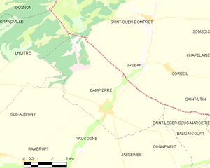
Dampierre
- commune in Aube, France
- Country:
- Postal Code: 10240
- Coordinates: 48° 33' 3" N, 4° 22' 4" E
- GPS tracks (wikiloc): [Link]
- Area: 29.36 sq km
- Population: 289