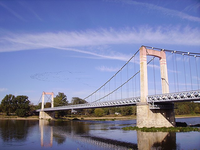
Saint-Père (Saint-Père)
- commune in Nièvre, France
- Country:

- Postal Code: 58200
- Coordinates: 47° 24' 43" N, 2° 57' 37" E


- GPS tracks (wikiloc): [Link]
- AboveSeaLevel: 163 м m
- Area: 17.09 sq km
- Population: 1120
- Web site: http://www.mairie-saintpere.fr/
- Wikipedia en: wiki(en)
- Wikipedia: wiki(fr)
- Wikidata storage: Wikidata: Q37197
- Wikipedia Commons Category: [Link]
- Freebase ID: [/m/03qg10d]
- GeoNames ID: Alt: [6617178]
- SIREN number: [215802612]
- BnF ID: [15266526z]
- INSEE municipality code: 58261
Shares border with regions:


Saint-Martin-sur-Nohain
- commune in Nièvre, France
- Country:

- Postal Code: 58150
- Coordinates: 47° 21' 45" N, 2° 59' 3" E


- GPS tracks (wikiloc): [Link]
- Area: 24.03 sq km
- Population: 376


Saint-Loup
- commune in Nièvre, France
- Country:

- Postal Code: 58200
- Coordinates: 47° 26' 44" N, 3° 0' 11" E


- GPS tracks (wikiloc): [Link]
- Area: 17.28 sq km
- Population: 489
- Web site: [Link]


Pougny
- commune in Nièvre, France
- Country:

- Postal Code: 58200
- Coordinates: 47° 23' 2" N, 3° 0' 11" E


- GPS tracks (wikiloc): [Link]
- Area: 19.19 sq km
- Population: 465


Cosne-Cours-sur-Loire
- commune in Nièvre, France
- Country:

- Postal Code: 58200
- Coordinates: 47° 24' 37" N, 2° 55' 30" E


- GPS tracks (wikiloc): [Link]
- AboveSeaLevel: 148 м m
- Area: 53.3 sq km
- Population: 10388
- Web site: [Link]
