Saint-Pierre-des-Corps (Saint-Pierre-des-Corps)
- commune in Indre-et-Loire, France
- Country:

- Postal Code: 37700
- Coordinates: 47° 23' 27" N, 0° 43' 41" E


- GPS tracks (wikiloc): [Link]
- Area: 11.28 sq km
- Population: 15745
- Web site: http://www.ville-saint-pierre-des-corps.fr
- Wikipedia en: wiki(en)
- Wikipedia: wiki(fr)
- Wikidata storage: Wikidata: Q1141332
- Wikipedia Commons Category: [Link]
- Freebase ID: [/m/03nvczr]
- GeoNames ID: Alt: [6433124]
- SIREN number: [213702335]
- BnF ID: [15257783c]
- VIAF ID: Alt: [143142299]
- Library of Congress authority ID: Alt: [n85308304]
- PACTOLS thesaurus ID: [pcrthlsTcjQ8aw]
- MusicBrainz area ID: [ccb53f20-3417-492f-87df-985a2032f1ea]
- SUDOC authorities ID: [115967435]
- INSEE municipality code: 37233
Shares border with regions:
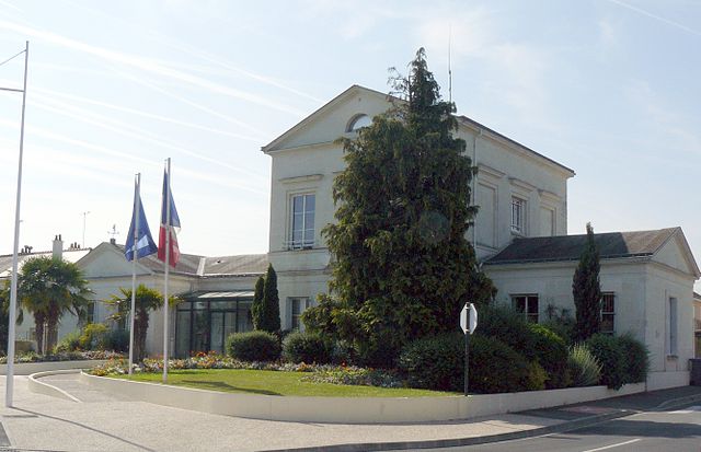

La Ville-aux-Dames
- commune in Indre-et-Loire, France
- Country:

- Postal Code: 37700
- Coordinates: 47° 23' 45" N, 0° 45' 52" E


- GPS tracks (wikiloc): [Link]
- Area: 8 sq km
- Population: 5305
- Web site: [Link]
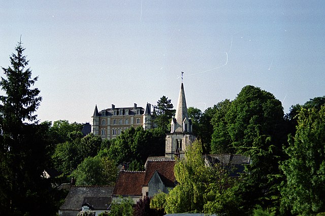

Larçay
- commune in Indre-et-Loire, France
- Country:

- Postal Code: 37270
- Coordinates: 47° 22' 5" N, 0° 46' 48" E


- GPS tracks (wikiloc): [Link]
- Area: 11.19 sq km
- Population: 2413
- Web site: [Link]

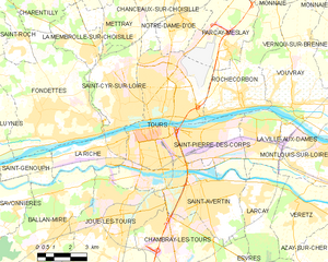
Tours
- commune in Indre-et-Loire, France
- Country:

- Postal Code: 37200; 37100; 37000
- Local Dialing Code: 247
- Coordinates: 47° 23' 34" N, 0° 41' 18" E


- GPS tracks (wikiloc): [Link]
- AboveSeaLevel: 76 м m
- Area: 34.36 sq km
- Population: 136252
- Web site: [Link]
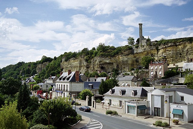

Rochecorbon
- commune in Indre-et-Loire, France
- Country:

- Postal Code: 37210
- Coordinates: 47° 24' 52" N, 0° 45' 18" E


- GPS tracks (wikiloc): [Link]
- Area: 17.09 sq km
- Population: 3179
- Web site: [Link]

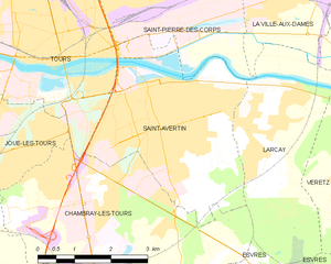
Saint-Avertin
- commune in Indre-et-Loire, France
- Country:

- Postal Code: 37550
- Coordinates: 47° 22' 0" N, 0° 43' 36" E


- GPS tracks (wikiloc): [Link]
- Area: 13.25 sq km
- Population: 14954
- Web site: [Link]
