Rochecorbon (Rochecorbon)
- commune in Indre-et-Loire, France
- Country:

- Postal Code: 37210
- Coordinates: 47° 24' 52" N, 0° 45' 18" E


- GPS tracks (wikiloc): [Link]
- Area: 17.09 sq km
- Population: 3179
- Web site: http://www.mairie-rochecorbon.fr
- Wikipedia en: wiki(en)
- Wikipedia: wiki(fr)
- Wikidata storage: Wikidata: Q693028
- Wikipedia Commons Category: [Link]
- Freebase ID: [/m/03nvg0r]
- GeoNames ID: Alt: [2983287]
- SIREN number: [213702038]
- BnF ID: [15257754s]
- VIAF ID: Alt: [311191789]
- MusicBrainz area ID: [b4bc1df2-a226-4164-a4ad-a4cfd383af82]
- Digital Atlas of the Roman Empire ID: [18816]
- INSEE municipality code: 37203
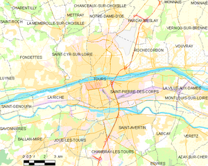
Shares border with regions:


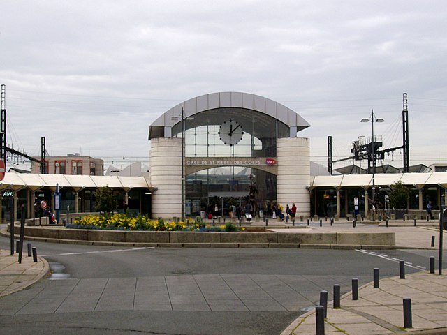
Saint-Pierre-des-Corps
- commune in Indre-et-Loire, France
- Country:

- Postal Code: 37700
- Coordinates: 47° 23' 27" N, 0° 43' 41" E


- GPS tracks (wikiloc): [Link]
- Area: 11.28 sq km
- Population: 15745
- Web site: [Link]


La Ville-aux-Dames
- commune in Indre-et-Loire, France
- Country:

- Postal Code: 37700
- Coordinates: 47° 23' 45" N, 0° 45' 52" E


- GPS tracks (wikiloc): [Link]
- Area: 8 sq km
- Population: 5305
- Web site: [Link]


Parçay-Meslay
- commune in Indre-et-Loire, France
- Country:

- Postal Code: 37210
- Coordinates: 47° 26' 30" N, 0° 44' 44" E


- GPS tracks (wikiloc): [Link]
- Area: 14.07 sq km
- Population: 2269
- Web site: [Link]


Monnaie
- commune in Indre-et-Loire, France
- Country:

- Postal Code: 37380
- Coordinates: 47° 30' 2" N, 0° 47' 7" E


- GPS tracks (wikiloc): [Link]
- Area: 39.42 sq km
- Population: 4298
- Web site: [Link]


Tours
- commune in Indre-et-Loire, France
- Country:

- Postal Code: 37200; 37100; 37000
- Local Dialing Code: 247
- Coordinates: 47° 23' 34" N, 0° 41' 18" E


- GPS tracks (wikiloc): [Link]
- AboveSeaLevel: 76 м m
- Area: 34.36 sq km
- Population: 136252
- Web site: [Link]


Vouvray
- commune in Indre-et-Loire, France
- Country:

- Postal Code: 37210
- Coordinates: 47° 24' 44" N, 0° 47' 57" E


- GPS tracks (wikiloc): [Link]
- Area: 22.92 sq km
- Population: 3191
- Web site: [Link]
