Saint-Rémy-de-Sillé (Saint-Rémy-de-Sillé)

- commune in Sarthe, France
- Country:

- Postal Code: 72140
- Coordinates: 48° 11' 10" N, 0° 5' 34" E


- GPS tracks (wikiloc): [Link]
- Area: 11.25 sq km
- Population: 844
- Web site: http://www.saint-remy-de-sille.fr
- Wikipedia en: wiki(en)
- Wikipedia: wiki(fr)
- Wikidata storage: Wikidata: Q941075
- Wikipedia Commons Category: [Link]
- Freebase ID: [/m/03qj161]
- GeoNames ID: Alt: [6442723]
- SIREN number: [217203157]
- BnF ID: [15273867v]
- INSEE municipality code: 72315
Shares border with regions:
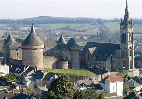

Sillé-le-Guillaume
- commune in Sarthe, France
- Country:
- Postal Code: 72140
- Coordinates: 48° 11' 0" N, 0° 7' 45" E
- GPS tracks (wikiloc): [Link]
- Area: 12.9 sq km
- Population: 2318
- Web site: [Link]
Mont-Saint-Jean
- commune in Sarthe, France
- Country:
- Postal Code: 72140
- Coordinates: 48° 14' 47" N, 0° 6' 27" E
- GPS tracks (wikiloc): [Link]
- Area: 42.31 sq km
- Population: 661


Crissé
- commune in Sarthe, France
- Country:
- Postal Code: 72140
- Coordinates: 48° 10' 7" N, 0° 3' 39" E
- GPS tracks (wikiloc): [Link]
- Area: 20.83 sq km
- Population: 601


Rouez
- commune in Sarthe, France
- Country:
- Postal Code: 72140
- Coordinates: 48° 8' 23" N, 0° 6' 51" E
- GPS tracks (wikiloc): [Link]
- AboveSeaLevel: 92 м m
- Area: 33.65 sq km
- Population: 777
- Web site: [Link]