Saint-Romphaire (Saint-Romphaire)

- former commune in Manche, France
- Country:

- Postal Code: 50750
- Coordinates: 49° 2' 20" N, 1° 6' 21" E


- GPS tracks (wikiloc): [Link]
- Area: 9.97 sq km
- Population: 738
- Wikipedia en: wiki(en)
- Wikipedia: wiki(fr)
- Wikidata storage: Wikidata: Q680219
- Wikipedia Commons Category: [Link]
- Freebase ID: [/m/03x_zch]
- Freebase ID: [/m/03x_zch]
- GeoNames ID: Alt: [6435642]
- GeoNames ID: Alt: [6435642]
- BnF ID: [15262516p]
- BnF ID: [15262516p]
- INSEE municipality code: 50545
- INSEE municipality code: 50545
Shares border with regions:


Condé-sur-Vire
- former commune in Manche, France
- Country:
- Postal Code: 50890
- Coordinates: 49° 3' 8" N, 1° 2' 14" E
- GPS tracks (wikiloc): [Link]
- Area: 24.85 sq km
- Population: 3382
- Web site: [Link]

Troisgots
- former commune in Manche, France
- Country:
- Postal Code: 50420
- Coordinates: 49° 0' 41" N, 1° 4' 24" E
- GPS tracks (wikiloc): [Link]
- Area: 7.53 sq km
- Population: 325


Le Mesnil-Raoult
- former commune in Manche, France
- Country:
- Postal Code: 50420
- Coordinates: 49° 2' 4" N, 1° 3' 38" E
- GPS tracks (wikiloc): [Link]
- Area: 3.98 sq km
- Population: 375


La Mancellière-sur-Vire
- former commune in Manche, France
- Country:
- Postal Code: 50750
- Coordinates: 49° 4' 8" N, 1° 4' 13" E
- GPS tracks (wikiloc): [Link]
- Area: 6.8 sq km
- Population: 496

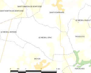
Le Mesnil-Opac
- former commune in Manche, France
- Country:
- Postal Code: 50860
- Coordinates: 49° 0' 47" N, 1° 5' 52" E
- GPS tracks (wikiloc): [Link]
- Area: 5.58 sq km
- Population: 259


Gourfaleur
- former commune in Manche, France
- Country:
- Postal Code: 50750
- Coordinates: 49° 4' 59" N, 1° 6' 44" E
- GPS tracks (wikiloc): [Link]
- Area: 8.45 sq km
- Population: 468