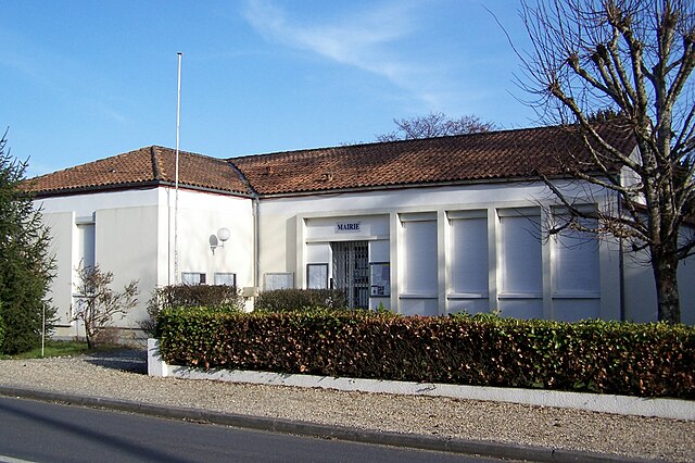
Saint-Sulpice-de-Guilleragues (Saint-Sulpice-de-Guilleragues)

- commune in Gironde, France
- Country:

- Postal Code: 33580
- Coordinates: 44° 37' 45" N, 0° 3' 0" E


- GPS tracks (wikiloc): [Link]
- AboveSeaLevel: 61 м m
- Area: 6.89 sq km
- Population: 226
- Wikipedia en: wiki(en)
- Wikipedia: wiki(fr)
- Wikidata storage: Wikidata: Q661672
- Wikipedia Commons Category: [Link]
- Freebase ID: [/m/03ns238]
- GeoNames ID: Alt: [6432453]
- SIREN number: [213304819]
- BnF ID: [15256528f]
- PACTOLS thesaurus ID: [pcrtV7VIkyKeN8]
- INSEE municipality code: 33481
Shares border with regions:

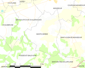
Sainte-Gemme
- commune in Gironde, France
- Country:
- Postal Code: 33580
- Coordinates: 44° 37' 13" N, 0° 4' 11" E
- GPS tracks (wikiloc): [Link]
- Area: 9.55 sq km
- Population: 202


Coutures
- commune in Gironde, France
- Country:
- Postal Code: 33580
- Coordinates: 44° 38' 41" N, 0° 1' 43" E
- GPS tracks (wikiloc): [Link]
- AboveSeaLevel: 42 м m
- Area: 3.4 sq km
- Population: 99


Fossès-et-Baleyssac
- commune in Gironde, France
- Country:
- Postal Code: 33190
- Coordinates: 44° 35' 39" N, 0° 2' 31" E
- GPS tracks (wikiloc): [Link]
- Area: 9.4 sq km
- Population: 209

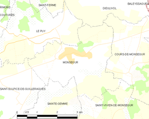
Monségur
- commune in Gironde, France
- Country:
- Postal Code: 33580
- Coordinates: 44° 39' 1" N, 0° 4' 51" E
- GPS tracks (wikiloc): [Link]
- Area: 9.91 sq km
- Population: 1500
- Web site: [Link]
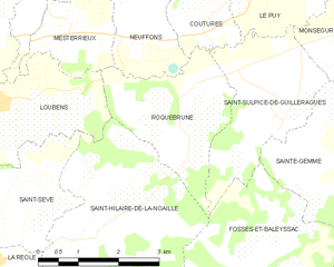
Roquebrune
- commune in Gironde, France
- Country:
- Postal Code: 33580
- Coordinates: 44° 37' 45" N, 0° 1' 20" E
- GPS tracks (wikiloc): [Link]
- Area: 6.52 sq km
- Population: 267
- Web site: [Link]

Le Puy
- commune in Gironde, France
- Country:
- Postal Code: 33580
- Coordinates: 44° 39' 40" N, 0° 4' 23" E
- GPS tracks (wikiloc): [Link]
- AboveSeaLevel: 27 м m
- Area: 8.15 sq km
- Population: 390