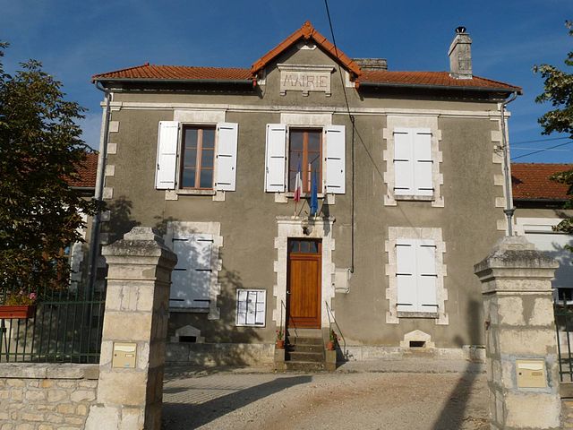
Saint-Sulpice-de-Ruffec (Saint-Sulpice-de-Ruffec)

- commune in Charente, France
- Country:

- Postal Code: 16460
- Coordinates: 45° 56' 24" N, 0° 18' 52" E


- GPS tracks (wikiloc): [Link]
- Area: 2.38 sq km
- Population: 32
- Wikipedia en: wiki(en)
- Wikipedia: wiki(fr)
- Wikidata storage: Wikidata: Q1436802
- Wikipedia Commons Category: [Link]
- Freebase ID: [/m/03mcdqm]
- GeoNames ID: Alt: [2976854]
- SIREN number: [211603568]
- BnF ID: [15248793q]
- INSEE municipality code: 16356
Shares border with regions:


Saint-Gourson
- commune in Charente, France
- Country:
- Postal Code: 16700
- Coordinates: 45° 57' 4" N, 0° 19' 22" E
- GPS tracks (wikiloc): [Link]
- Area: 10.09 sq km
- Population: 139


Couture
- commune in Charente, France
- Country:
- Postal Code: 16460
- Coordinates: 45° 55' 46" N, 0° 17' 8" E
- GPS tracks (wikiloc): [Link]
- Area: 10.61 sq km
- Population: 157

Chassiecq
- commune in Charente, France
- Country:
- Postal Code: 16350
- Coordinates: 45° 57' 14" N, 0° 22' 45" E
- GPS tracks (wikiloc): [Link]
- Area: 13.06 sq km
- Population: 152


Ventouse
- commune in Charente, France
- Country:
- Postal Code: 16460
- Coordinates: 45° 54' 12" N, 0° 19' 32" E
- GPS tracks (wikiloc): [Link]
- Area: 10.15 sq km
- Population: 131